Hi am new to remote sensing and having quite a bit of trouble getting basic WGS84 coordinates.
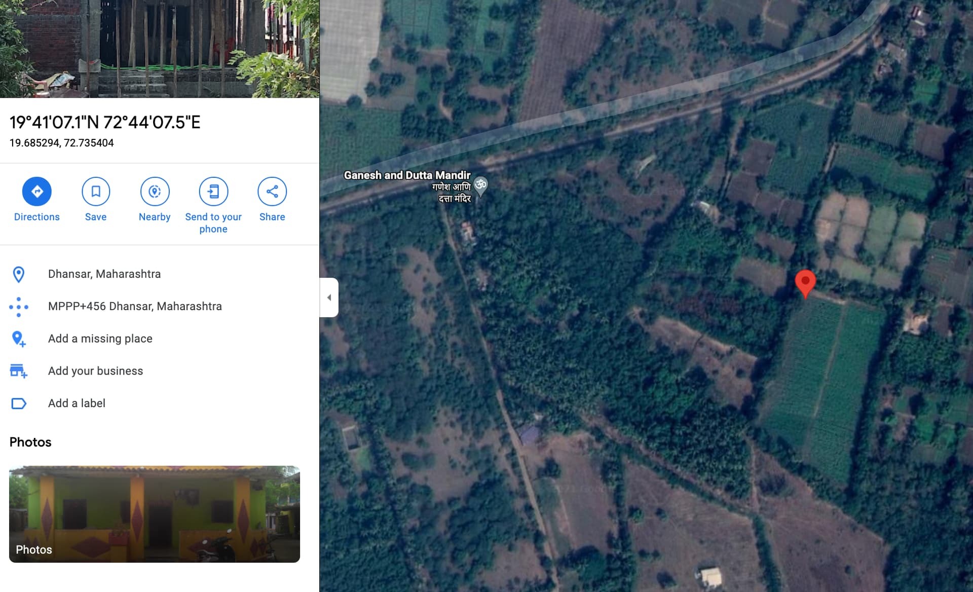
Am interested to get sentinal-2 data on this field as shown on gmaps with lat/long of 19.685294, 72.735404. How to convert this to WGS84?
The example process_request notebook says:
“The bounding box in WGS84 coordinate system is e46.16, -16.15, 46.51, -15.58] (longitude and latitude coordinates of lower left and upper right corners). You can get the bbox for a different area at the bboxfinder website.”
and is used with BBox(bbox=betsiboka_coords_wgs84, crs=CRS.WGS84)
Tried using bboxfinder.com/ as given in the process_request notebook however that does not seem to give any sensible values. The values used in the process_request notebook is 46.16, -16.15, 46.51, -15.58] while bboxfinder gives almost same values as lat/long in its Box section. Also there is no way to search for lat/long to immediately spot your area or satellight view which makes using this quite difficult.
Any suggestions on how to get this field coordinates?


