Can you provide the example of the request you would like to do (make sure to mask the token and other privacy-related data, i.e. collection etc.)
Hello,
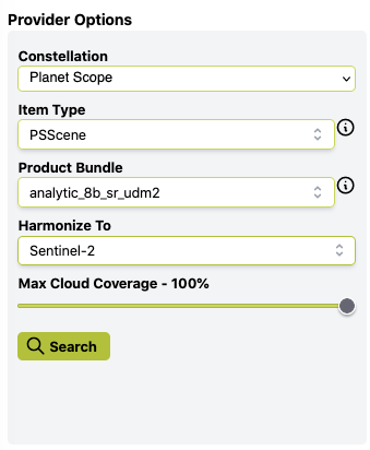
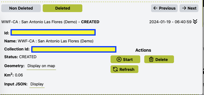
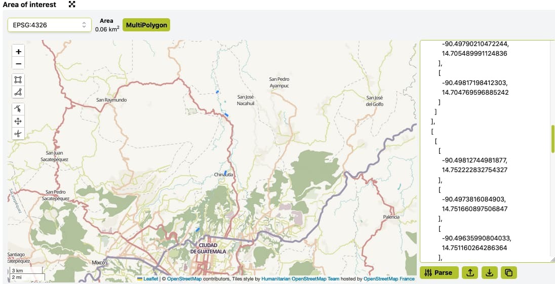
Below are screenshots of the request. Let me know if you need anything else to troubleshoot.


Can you paste the GeoJSON in machine-readable way?
Here is the geojson:
{
“type”: “MultiPolygon”,
“coordinates”: d
b
b
b
-90.5213793661962,
14.65771555692784
],
b
-90.52203352291427,
14.656944586510123
],
b
-90.52278697127703,
14.656214500887284
],
b
-90.52309652758112,
14.656664233630954
],
b
-90.5211749422218,
14.658597500360228
],
b
-90.5208069790679,
14.658229537206317
],
b
-90.5213793661962,
14.65771555692784
]
]
],
b
b
b
-90.49817198412303,
14.704769596885242
],
b
-90.49839554310162,
14.703783524991366
],
b
-90.49872604660413,
14.702787795667277
],
b
-90.4992084690421,
14.703043438460014
],
b
-90.49839850798058,
14.705646124307059
],
b
-90.49790210472244,
14.705489991124836
],
b
-90.49817198412303,
14.704769596885242
]
]
],
b
b
b
-90.49812744981877,
14.752222832754327
],
b
-90.4973816084903,
14.751660897506847
],
b
-90.49635990804033,
14.751160264286364
],
b
-90.49667663517982,
14.75071071608838
],
b
-90.49804571378277,
14.751507642439353
],
b
-90.49895502718324,
14.75215131372283
],
b
-90.49845439396276,
14.752611078925314
],
b
-90.49812744981877,
14.752222832754327
]
]
],
b
b
b
-90.50594258407877,
14.770180915184689
],
b
-90.50524858154401,
14.770646198291733
],
b
-90.50496980796306,
14.771006964102373
],
b
-90.50501900330087,
14.771318534575197
],
b
-90.50471836512534,
14.771362263764367
],
b
-90.50452704992273,
14.771099888629356
],
b
-90.50459264370649,
14.770810182751115
],
b
-90.50480035735504,
14.770504078426937
],
b
-90.50592091782747,
14.769536570116585
],
b
-90.5061614283679,
14.769842674440763
],
b
-90.50594258407877,
14.770180915184689
]
]
]
]
}
There seems to have been an error in configuration of the tiers, sorry about that.
Can you try again?


