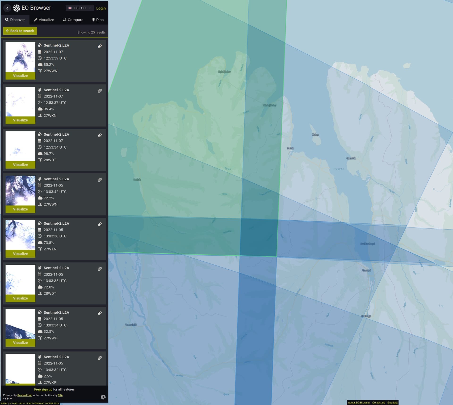
Hi,, thanks for the question. This will probably be due to the very high latitudes that you are searching for imagery in. As it is currently winter in the northern hemisphere, there is less sunlight hours and the sun is lower in the sky. This is of course more pronounced the further north you go, like in northern Canada and Norway.
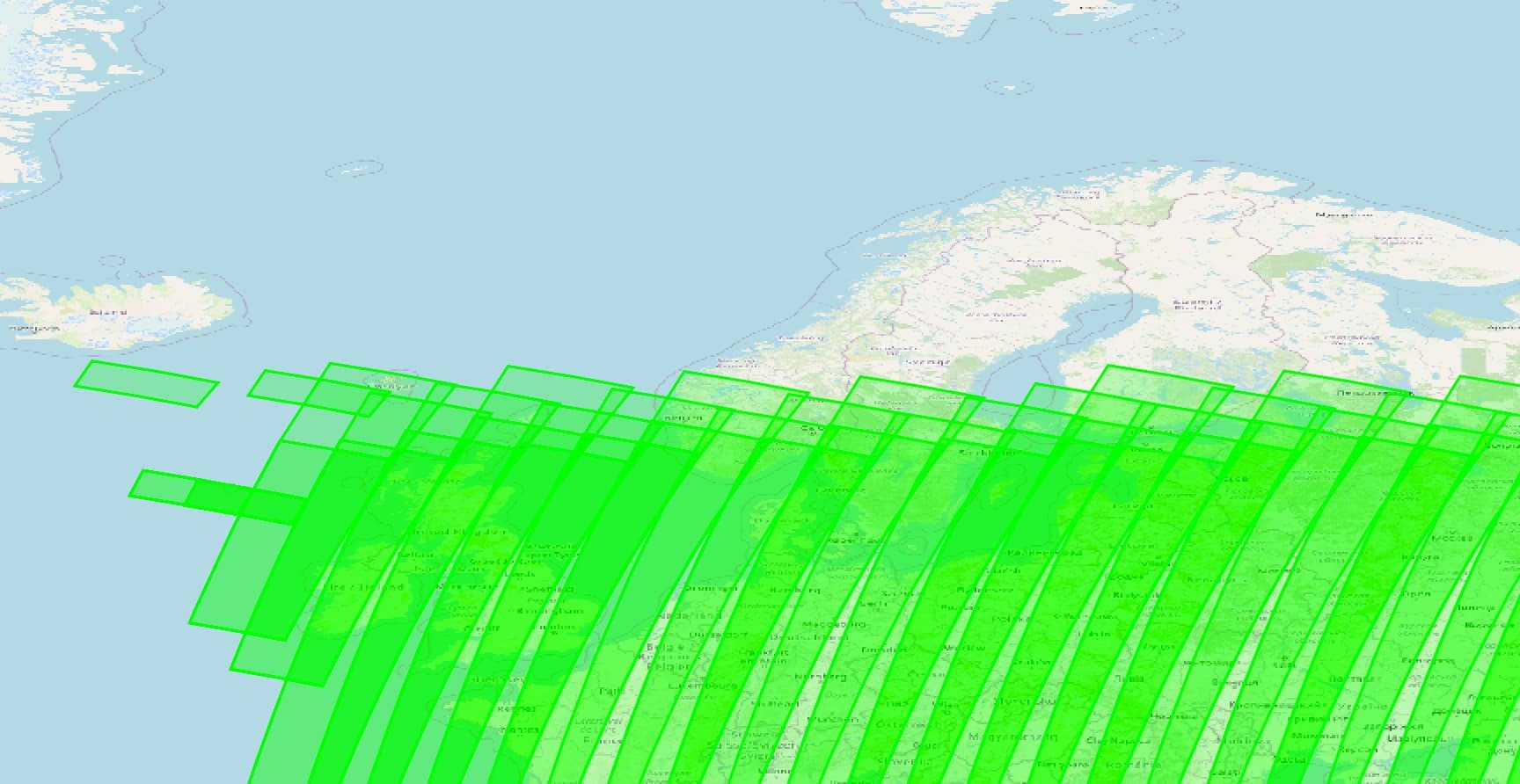
Therefore, it makes little sense to collect satellite imagery in these regions at this time of year; Sentinel-2 is a passive sensor relying on reflected light of which there is very little at this time of year. Below is a screenshot of the acquisition plan for Sentinel-2A between 17th November and 5th December 2022. You can see that northern latitudes are excluded at this time of year.
You can download the acquisition plans at this link and you can find out a little more information in this post from the GIS Stack Exchange.
Thank you for the quick response! That makes sense. The acquisition plans will also be very helpful to use. Thanks!


