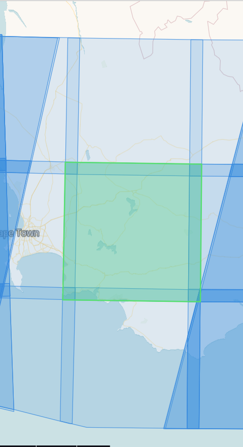
We make use of S2-L2A imagery to generate vegetation indices for various areas accross South Africa. I noticed that on the 17th of October only a single tile was available in the flight path. The other images are all from the 12th of October. I have attached an image below from EO brower to highlight the tile that is from the 17th (the one in green) the tiles immediately north and south of the green tile only have images from the 12th.
We have been using S2-L2A images for just under a year and have not yet encoutered missing data like this.
Any information regarding the missing tiles would be greatly appreciated.


