Hello,
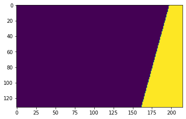
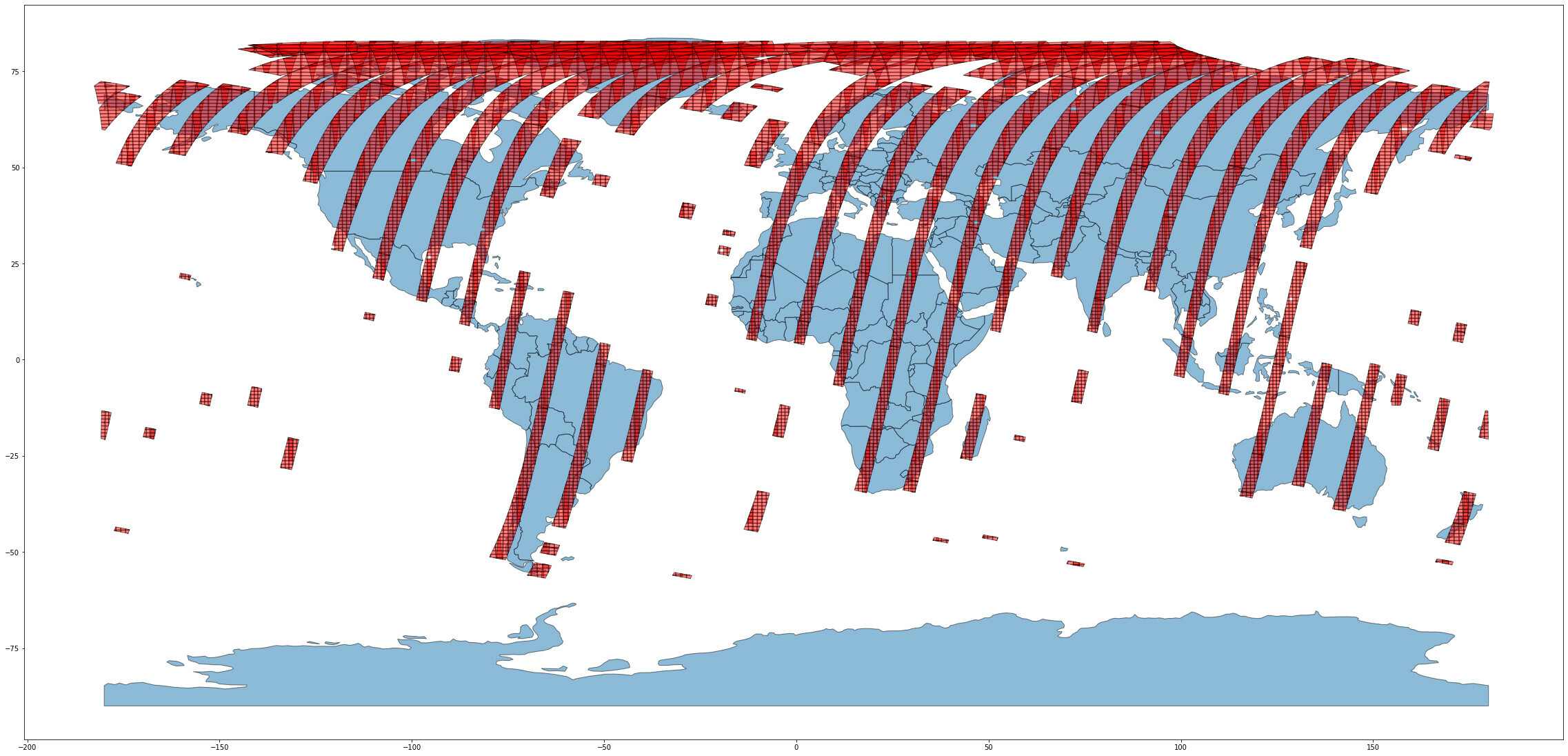
I have downloaded Sentinel-s2-l1c data using below geojson coordinates but it gave 1/4 part of the image for some dates (2019-09-06, 2019-08-23, 2019-08-22)
{

  "type": "FeatureCollection",

  "features": [

    {

      "type": "Feature",

      "properties": {},

      "geometry": {

        "type": "Polygon",

        "coordinates": [

          [

            [

              38.776009,

              55.053424

            ],

            [

              38.771718,

              55.05716

            ],

            [

              38.772254,

              55.05748

            ],

            [

              38.775473,

              55.058561

            ],

            [

              38.780966,

              55.060478

            ],

            [

              38.784871,

              55.061486

            ],

            [

              38.786631,

              55.06183

            ],

            [

              38.78706,

              55.062199

            ],

            [

              38.790278,

              55.062961

            ],

            [

              38.795686,

              55.064067

            ],

            [

              38.801351,

              55.064927

            ],

            [

              38.804398,

              55.06532

            ],

            [

              38.804913,

              55.065025

            ],

            [

              38.805299,

              55.064239

            ],

            [

              38.794699,

              55.062445

            ],

            [

              38.796244,

              55.060872

            ],

            [

              38.793068,

              55.060257

            ],

            [

              38.787661,

              55.058709

            ],

            [

              38.785043,

              55.057775

            ],

            [

              38.784056,

              55.05716

            ],

            [

              38.782725,

              55.056619

            ],

            [

              38.779421,

              55.055464

            ],

            [

              38.778691,

              55.054948

            ],

            [

              38.77852,

              55.054161

            ],

            [

              38.776009,

              55.053424

            ]

          ]

        ]

      }

    }

  ]

}
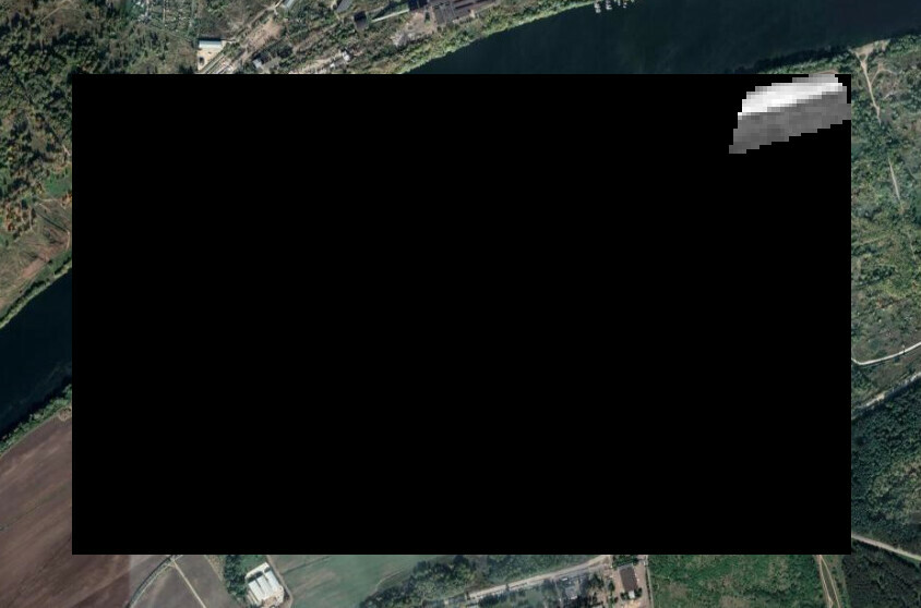
Please check the below image has an issue
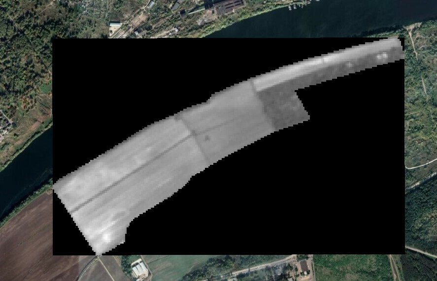
Original image shape:
Could you please help me to get the correct shape?
Thank you in advance!
Kind Regards,
Deepika


