Hi,


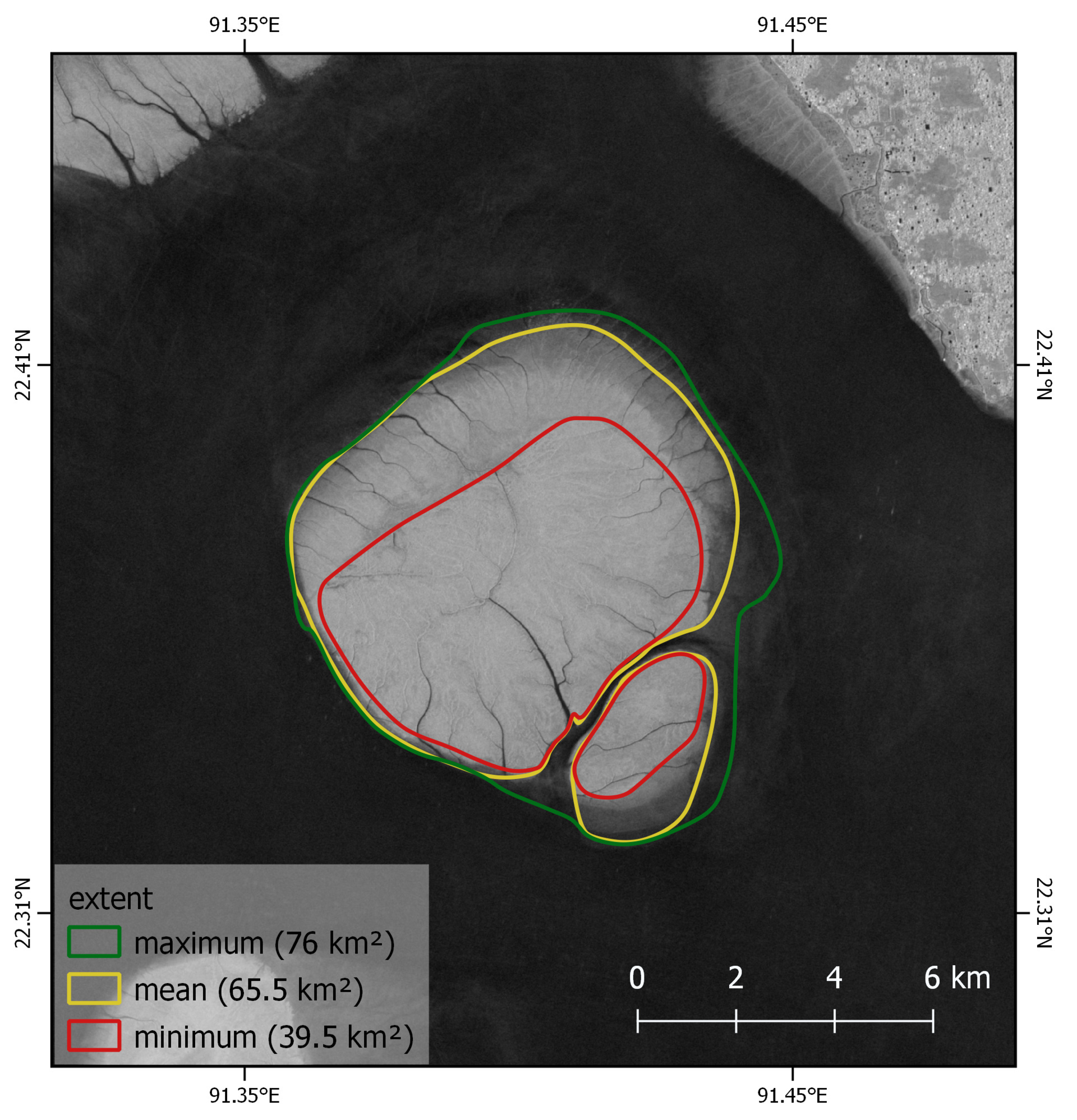
I am looking for the vector file for the image above for use in a GIS. I wonder if ESA has released this data or would anyone know who I could contact about getting it? I am looking at flood mapping the island for my masters project but I need the vector for validation. Any help on this would be appreciated.

Dear,

We are not the providers of the dataset you are looking to obtain. I would suggest you contact the providers directly, based on the source of the figure. If it is ESA, as you mentioned, you could contact them as a starting point.

Regards,


Hi,

Thanks so much for your reply! Yes, I have reached out to the ESA however I am unsure of the specific department I should contact about this. Anyway, hopefully they will get back to me.

Thanks again for your help.


Reply