Sector: Maritime


Userlevel 7
Badge +13

We encourage you to share your projects, ask questions about the Maritime sector, and please use the maritime tag so your post is found by others! 

Maritime Sector

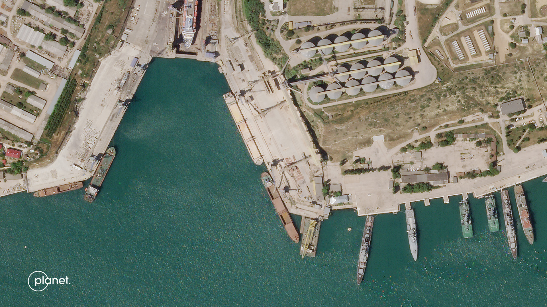
You can survey waters, detect vessels, and track activity.

Planet delivers a comprehensive view of the earth’s strategic waterways, and coastlines directly to your desk.

1T95ZltqZIASDcXHgG_VkJisg24sMaE10i3PSrZd7uCJgGgClPLDNStp0hVdgTweNGjlFX_poc2BdY4OGRV99lMNvGjlSDrx8Ks4vS6L2Bb_XpwkJKS-uF2AmYMYmiG7eE_r4Aabj68n2sbB-w

Image Info: “Super Yacht” This image taken in Seychelles, Indian Ocean, shows a yacht that appears to match the design of the Nord, owned by Alexei Mordashov; a Russian oligarch. https://www.planet.com/gallery/#!/post/superyacht


2 replies

Userlevel 1
Badge +1

Lately, a huge focus of my work has been supporting journalists as they investigate illicit shipping networks that are moving stolen grain out of Ukraine. The pairing of Planet imagery (both PlanetScope and SkySat!) and ship tracking has helped shed light on this phenomenon. Here are a few impressive investigations we’ve assisted with so far: 

Ships loading grain at the Avlita Grain Terminal in Sevastopol, June 16, 2022


Userlevel 6
Badge +4

@annepellegrino Very interesting application indeed. @elyhienrich  I hope to post some applications in this topic from some of the things we are doing at the Centre for Maritime and Ocean Studies at the University of Trinidad and Tobago.

Reply