Sector: Mapping and GIS

  • 27 June 2022
  • 1 reply
  • 101 views

Userlevel 7
Badge +15

We encourage you to share your projects, ask questions about the Mapping and GIS sector, and please use the mapping and GIS tag so your post can be found by others! 

Mapping and GIS Sector

You can update GIS data, visualize topographies, and enhance UX.

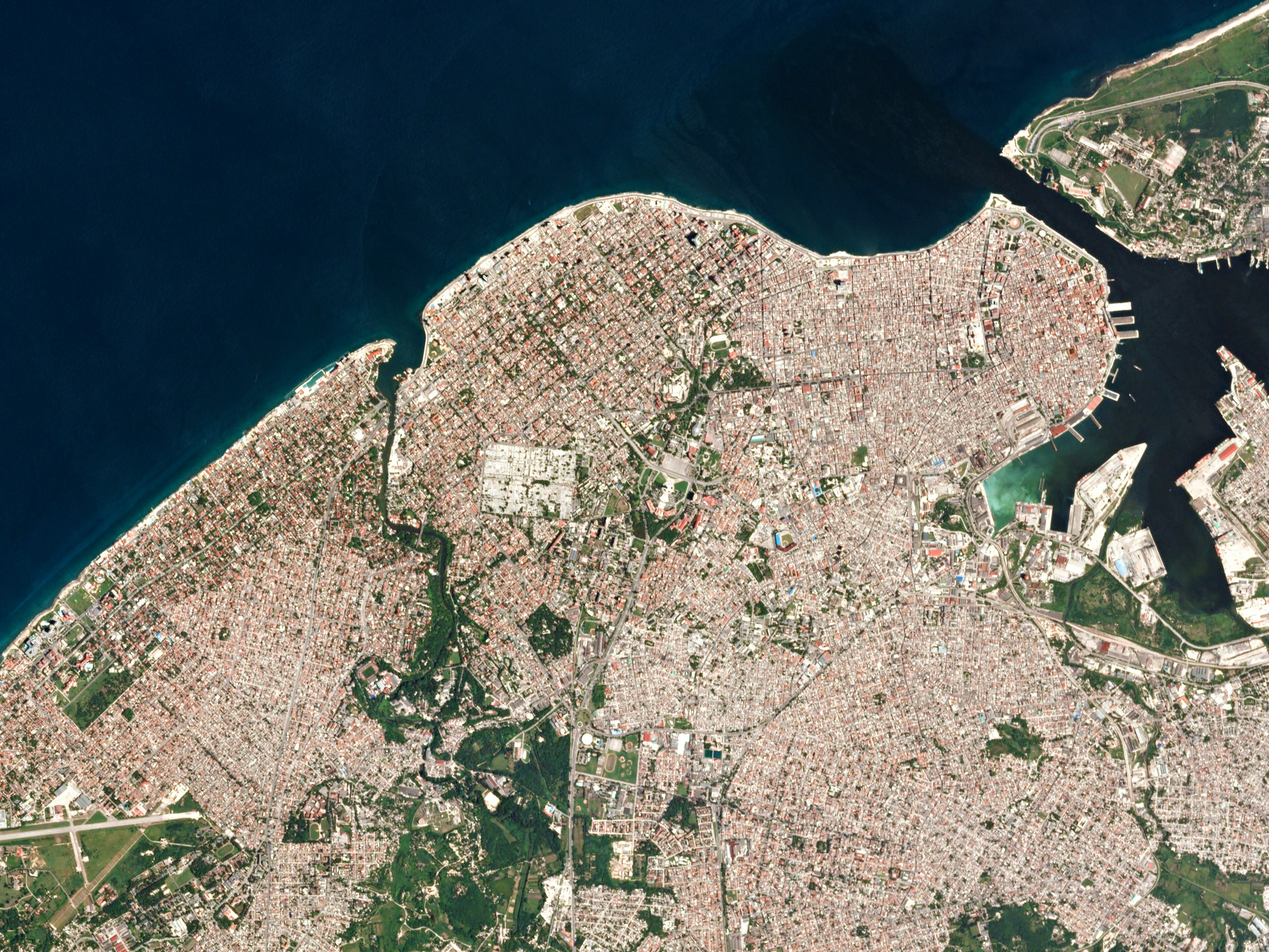
Image Info: “Havana” The narrow streets and small plazas in Havana, Cuba. 

https://www.planet.com/gallery/#!/post/havana-20160903


1 reply

Userlevel 6
Badge +4

Planet imagery has been the #1 data source that I have been using in my GIS work this year.

Reply


Planet Monitoring
Investors

© 2024 Planet Labs PBC. All rights reserved.
| Privacy Policy | California Privacy Notice | California Do Not Sell
Your Privacy Choices | Cookie Notice | Terms of Use