Solved

Beginner Help: Converting to Surface Temperature

  • 20 February 2023
  • 4 replies
  • 260 views

Badge +2

Hi all, 

I am a PhD student hoping to use Planet data in one of my projects.  While I have used ArcGIS in the past, I have not worked with satellite-based data before, so a lot of the terminology and data are new to me.  Given that, please forgive me for what is likely a very basic set of questions. 

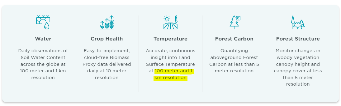
I am interested in determining the surface temperature of various lakes over time.  Currently, it is my understanding that I should be able to download surface reflectance images and then convert these to surface temperature.  I have found a tutorial on how to do that with Landsat imagery, but I am working with small alpine lakes, and would, thus, like to work with the imagery that Planet has to offer for improved resolution and temporal replication.  At this stage, I find that I am struggling a bit with even knowing what to ‘google’ for help, so any advice or pointers in the right direction would be greatly appreciated.  

  1. How should I decide which satellites to use (e.g., Dove R, Super Dove, etc.) ?  Where can I find this kind of information?
  2. From there, how do I convert those images to surface temperature?  I mostly work in R, but have introductory-level experience in Python and I would like to become better in Python - so I’m open to any thoughts and suggestions here.
  3. If anyone could suggest some links/documents for an introduction to these topics, I would greatly appreciate it!

Again, I’m sorry for these rudimentary questions.  As I mentioned, I’m new to the world of spatial data, but it is something that I am becoming really interested in and would like to be much better versed in it.  Right now, I just feel like I hardly know where to begin.


Thank you in advance, 

Gaby

icon

Best answer by yongjun.song 21 February 2023, 03:27

View original

4 replies

Userlevel 1
Badge +3

Hi, Gabrielle

If you want to get land or sea surface temperature from the satellite imagery, then you should use MWIR (Mid-Wavelength InfraRed) or LWIR (Long-Wavelength InfraRed) spectral data, which can provide thermal information, such as Landsat or MODIS satellites provide. 
MWIR or LWIR data can be converted into surface temperature by applying some methods (such as single-channel or multi-channel algorithms) that can estimate surface temperature. (Check the methods for estimating land surface temperature: https://doi.org/10.1016/j.rse.2012.12.008)

Planet satellites (e.g., SkySat, PlanetScope, Rapideye) don’t provide thermal data (MWIR or LWIR) as I know, so you should use another satellite data that can capture thermal information from the scene.

yongjun

Badge +2

Hi Youngjun, 

Thanks for your reply, and that paper.  I’ve started looking over it, and I will definitely devote some time to understanding it better!

With my study area, I can get Landsat-8 data, but the images are ~weekly and the resolution isn’t as fine as I would like.  Are there any other options that I could look to for surface temperature?  It looks like Planet includes surface temperature as part of their Planetary Variables (here), but I’m thinking I may not have access to that with my student account(?).


Thanks,
Gaby

Userlevel 1
Badge +3

Hi, Gabrielle,

It seems that Planetary Variables use Landsat data because its spatial resolution is written as 100m (or more) as follow pic from the link you mentioned. And also, I think Landsat data are the finest one within public satellite data which can provide thermal information. But, if you are interested in high temperature subjects such as wildfire and volcano, you can use SWIR data that can be provided by Sentinel-2 satellite.

yongjun


Badge +2

Hi Yongjun, 

My apologies for the delay in response.  Working on this has gotten pushed to the side for a bit, but I’m trying to get back on it now.  Thank you so much for your help with this!


Thanks,

Gaby

Reply