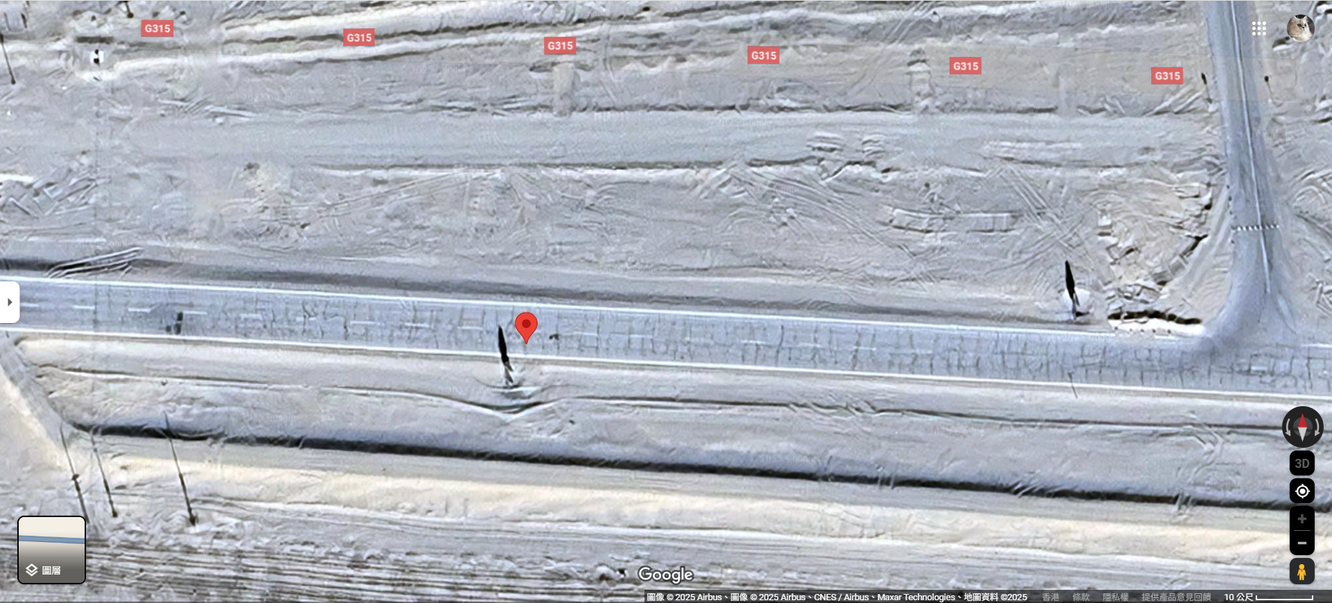
I need assistance in locating or ordering historical high-resolution satellite imagery or video with the following specifications:
-
Location: Coordinates 39.19825652313258°N, 88.93190839404754°E (within a 25 km² area)
-
Time: April 15, 2025, 16:00-19:00 Beijing Time (UTC+8), equivalent to 14:00-17:00 UTC+6
-
Resolution: Preferably high-resolution imagery or video capable of identifying ground details (e.g., vehicles, people)
-
Purpose: To investigate and reconstruct the truth behind an incident involving the death of a famous pet cat in China that occurred during this time frame.
We are seeking high-resolution images or videos from this specific time period. If you offer relevant commercial services, please provide details on availability, pricing, and delivery.
Thank you for your assistance!


