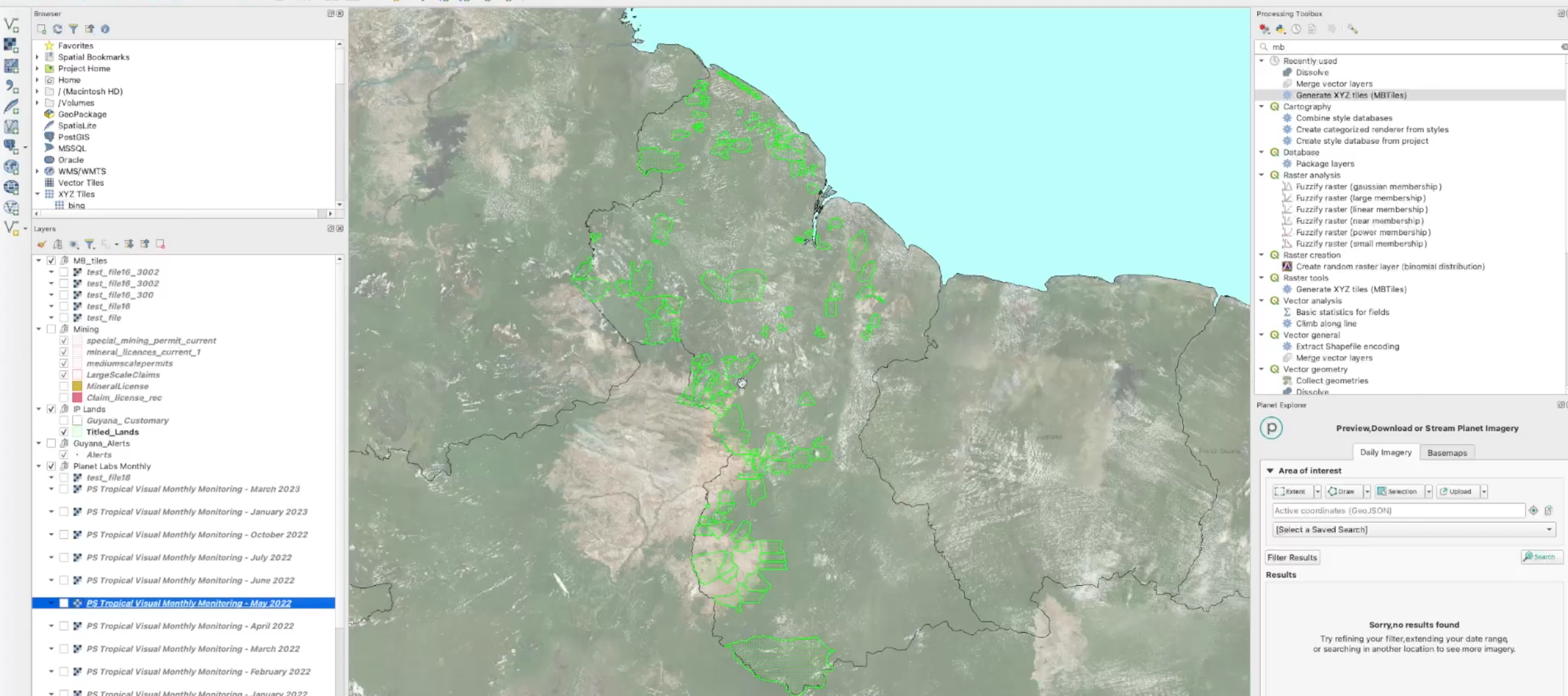
Learn from a NICFI Satellite Data Program User! Rainforest Foundation US Workflow using NICFI Imagery

  • June 18, 2024
  • 0 replies
  • 208 views
Learn from a NICFI Satellite Data Program User! Rainforest Foundation US Workflow using NICFI Imagery
idilgumus
Community Manager 🌎
Forum|alt.badge.img+9
  • Community Manager 🌎
  • 71 posts replied to

Watch the Rainforest Foundation US Workflow using NICFI Imagery webinar on Planet University! 

In this webinar you can learn about what they do, how they use the NICFI satellite Data Program, online and offline, to monitor, investigate, validate and gather evidence on deforestation events in Indigenous Communities territories in Guyana. 


0 replies

Be the first to reply!