Tasked my field for imagery off on about 10 km and need the imagery. Any suggestions on how to proceed with that?
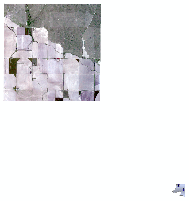
Image I got from Planet on top left and field I needed on bottom right.


Hi @josegcesario,


In order to better help you, can you provide a little more context about what happened? 

Thank you!


Hi @elyhienrich , thanks for the reply.

I needed tif image for getting the NDVI values from a field so I tasked via SkySat from Planet a point from the field (25 km2). However, I realized that the radius from the point didn’t get the field I needed. Is there anything I can still do in order to obtain this image?


Hi @josegcesario if you could let us know which order you’re referring to, I’d be happy to help you cancel/re-task it to capture the area you’re interested in!


@Sumner Macpherson , thanks for the reply. We figured it out. Thanks!


Reply