
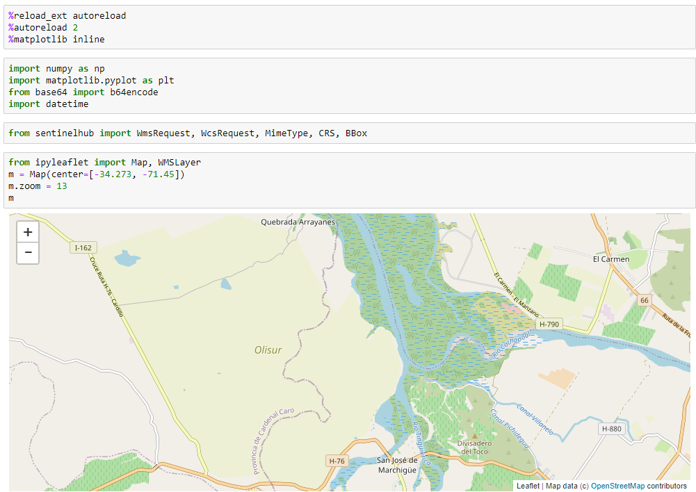
I’m using Example Jupyter Notebook as a reference. I checked on Eo Browser and at 2020-03-14 there is data for my zone of interest (yellow zone, named Olisur), which you can check on the map using:
from ipyleaflet import Map, WMSLayer
m = Map(center=[-34.273, -71.45])
m.zoom = 13
m
The code runs without errors, but image = wms_request.get_data()[-1] returns error out of index, because wms_request is not getting data.
How can i solve this? I already followed the steps for configuration and instance ID and installed the required libraries
