Hi everyone,
I’m wondering if it is possible to display the result of multiple polygon instead of just 1. From this polygons, I am expecting to get all 3 to be displayed,
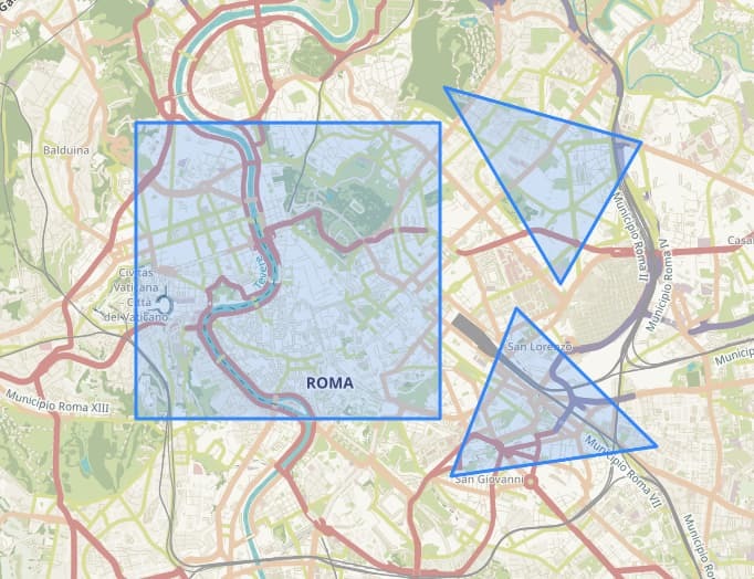
but I get this result instead:
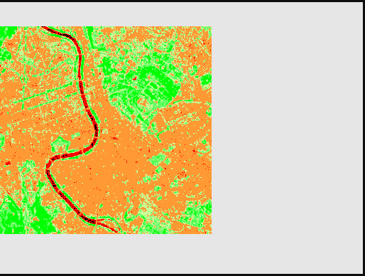
Any help would be much appreciated.
Regards,

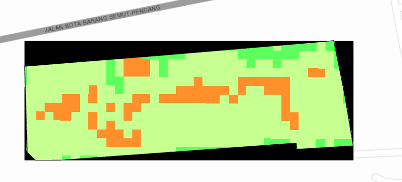
Hi everyone,
I’m wondering if it is possible to display the result of multiple polygon instead of just 1. From this polygons, I am expecting to get all 3 to be displayed,
but I get this result instead:
Any help would be much appreciated.
Regards,
Enter your E-mail address. We'll send you an e-mail with instructions to reset your password.
©
Planet Labs PBC. All rights reserved.
|
Privacy Policy
|
California Privacy Notice
|
California Do Not Sell
Your Privacy Choices
|
Cookie Notice
|
Terms of Use