Hello,


I have two questions. Sorry, I don’t know if I should separate them to different threads?


  1. When using the sentinelhub python package there is an option for the CRS. Let’s say I have my AOI in EPSG:4326 but since Sentinel2 L2A is natively provided in UTM (respecting the zone) is it better to reproject the geometry to UTM and then download the data?


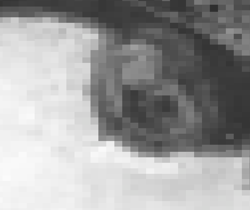
  2. When is it necessary to split the AOI (in terms of maximum area) to receive the best results regarding the spatial resolution? For example, when downloading a bigger AOI and calculating the NDWI, I receive results in 20x20m. Also, how is it possible that I receive the results of NDWI (combination of band 03 & band 08) in 20x20m resolution? Aren’t they provided in 10x10m?


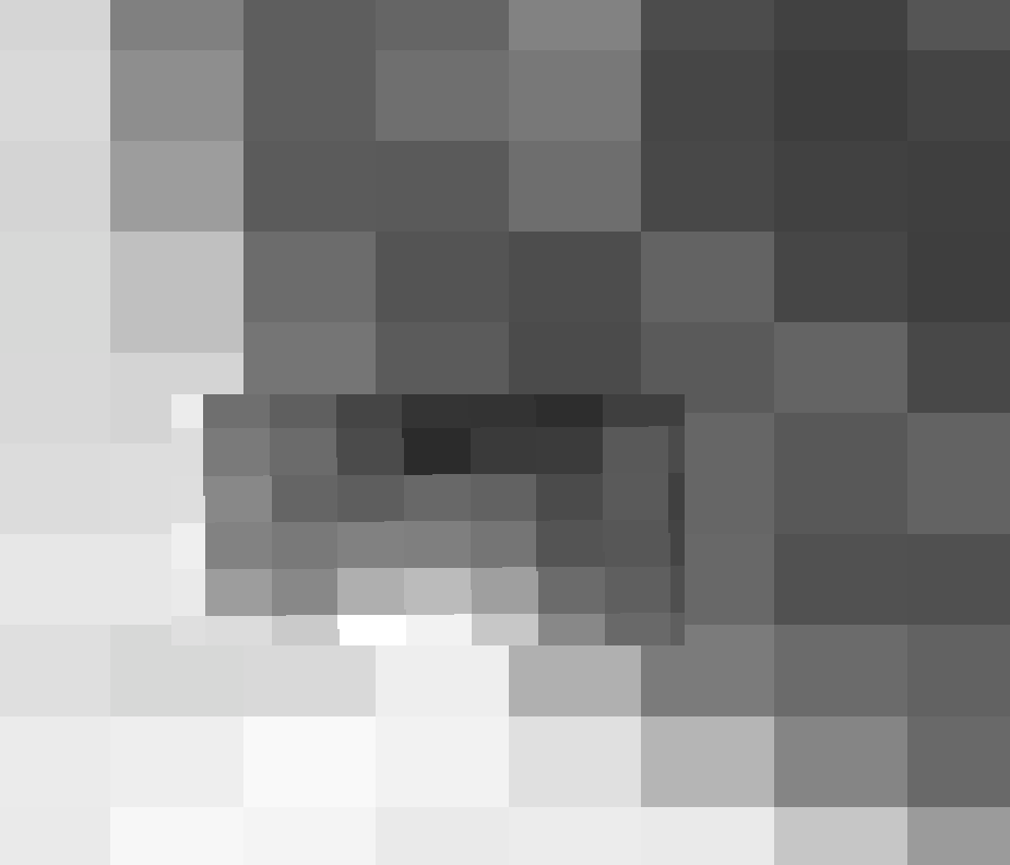
    But when reducing the AOI, I receive results in 10x10m. Here is an example for 10x10m overlapping the screenshot from above.

Hi,


Thank you for your questions.


  1. It would not be a problem to request Sentinel2 L2A data using an AOI in EPSG:4326, you can even output the Sentinel2 L2A data in EPSG:4326 if that is suitable for your use case. There are several supported projections available with Sentinel Hub APIs. If you are really interested in how much of a difference it could make, I suggest experimenting using our Request Builder application.


  2. If you require the best resolution for Sentinel2 L2A then that is 10x10m resolution that can be requested. The maximum area in pixels that can be requested is 2500x2500 pixels using Process API so that is when you would have to split an area. Alternatively, when working with large areas, I would suggest using our Batch Processing API. Alternatively, for smaller large areas there is the Large Areas Utility function in the Python package


Thank you for your answers!


Hi, just one follow up. If I use WGS84, which value should I set to resx and resy to correspond to UTM’s 10x10m?


Have a read of this but remember degrees is only an approximation.


I have read the conversions but were just wondering is there a recommendation by SentinelHub what to use when dealing with WGS94?


There is no specific recommendation, the most appropriate resolution will differ depending on your application.


Reply