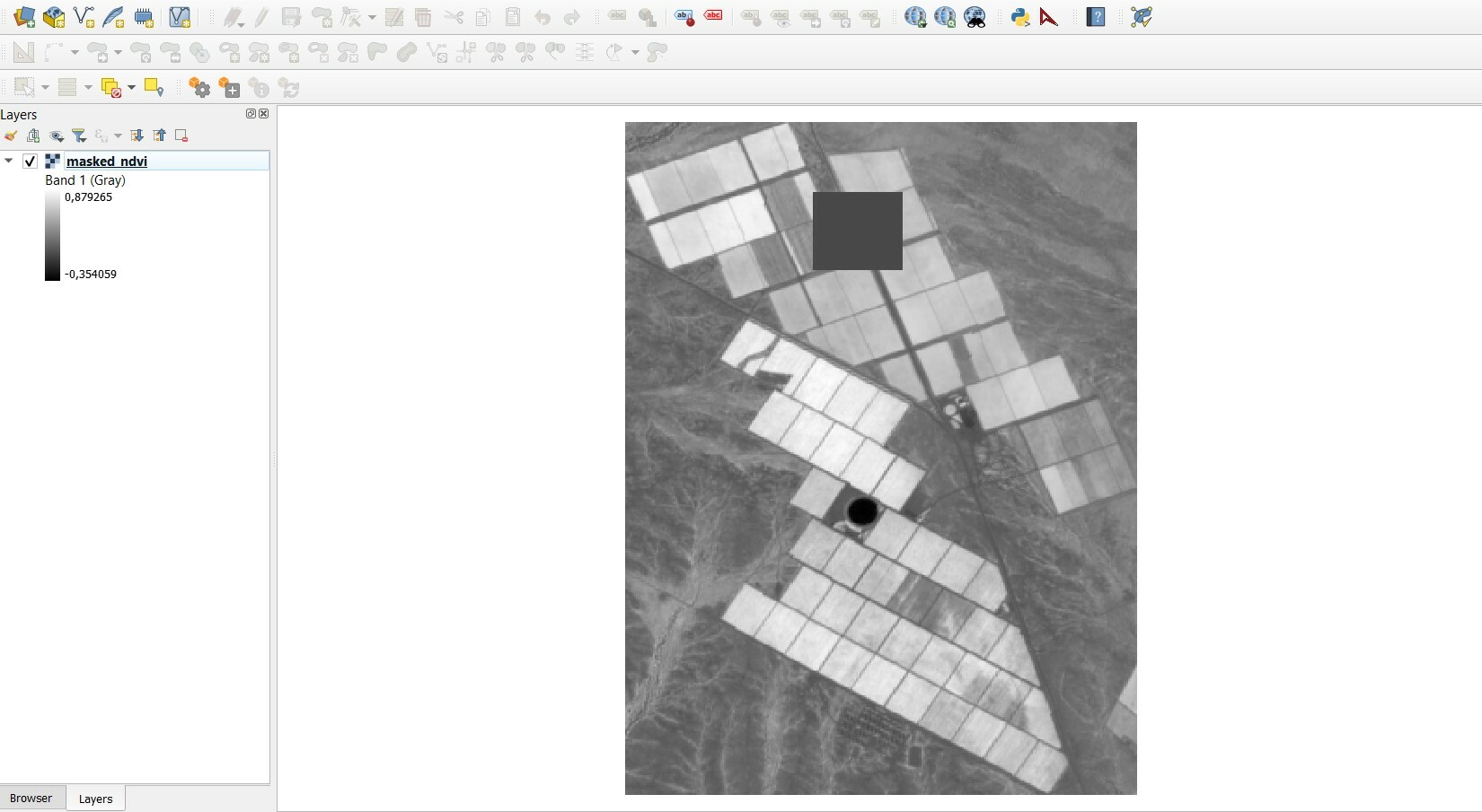
We make use of the Sentinel-Hub Process API to download our NDVI imagery as well as the Cloud Mask layer (CLM). If there are clouds present in the CLM layer, it is overlayed with the NDVI image to ensure that the cloudy areas are represented as such. It has been noticed that not all clouds are picked up on which makes sense as some clouds are extremely faint and almost appear as a haze. We do however expect this as it cannot be possible to account for the smaller/fainter clouds.
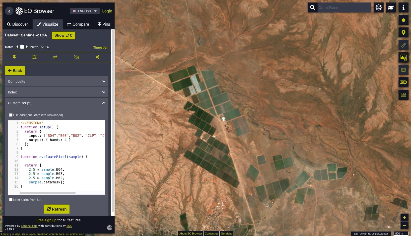
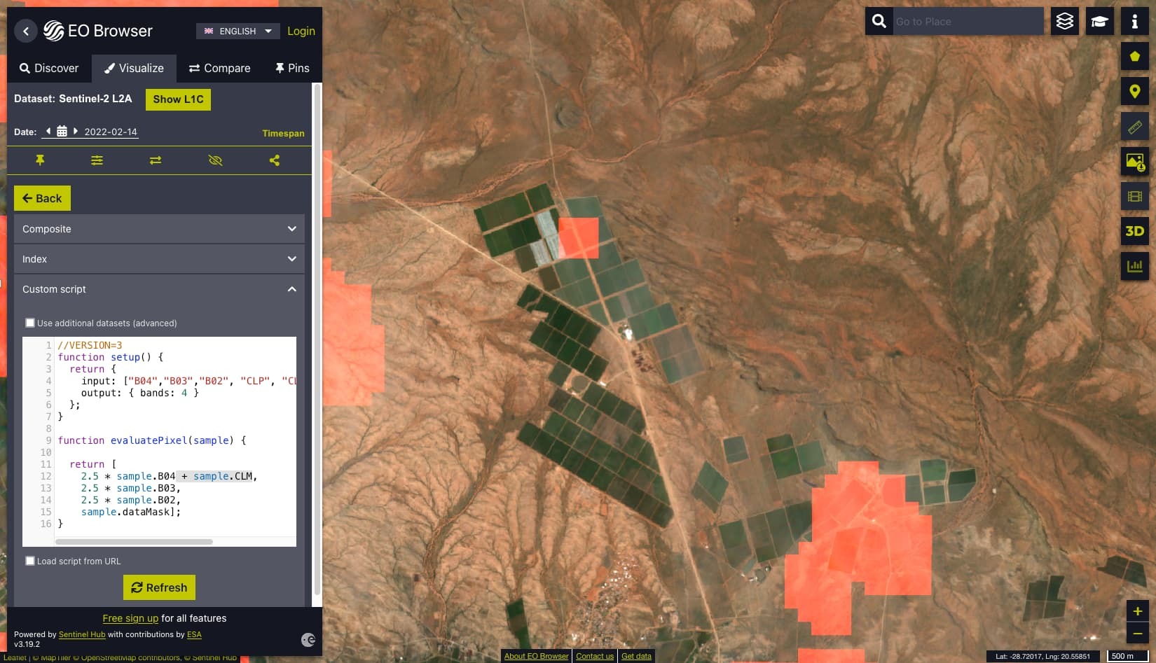
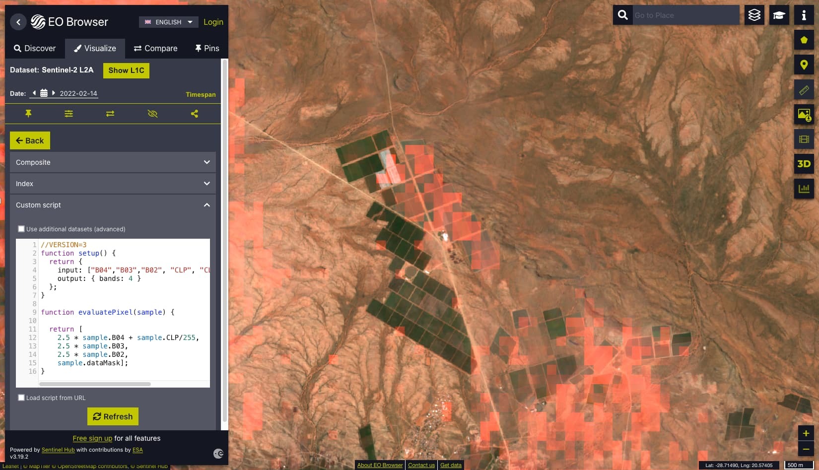
Today, however, we noticed that a small area (on one of our clients farms) was marked as cloudy but when looking at the true colour image and NDVI visualisations on EO Browser for the area, there was no visible cloud. I have attached images for reference to depict what I am speaking about.
Could you please provide some clarity on what might have caused this anomaly? Your feedback would be greatly appreciated.
The farm is located just outside of a town called Kakamas in the Northern Cape of South Africa. The coordinates of the farm house (in DD, WGS84) are: 20,58637 E -28,70515 S.
On a side note, I have read about the Cloud Probability Layer (CLP) that is available for download like the CLM layer. Would one be able to make use of both of these layers (or just the CLP) to reduce the probability of smaller clouds affecting the pixel values?