
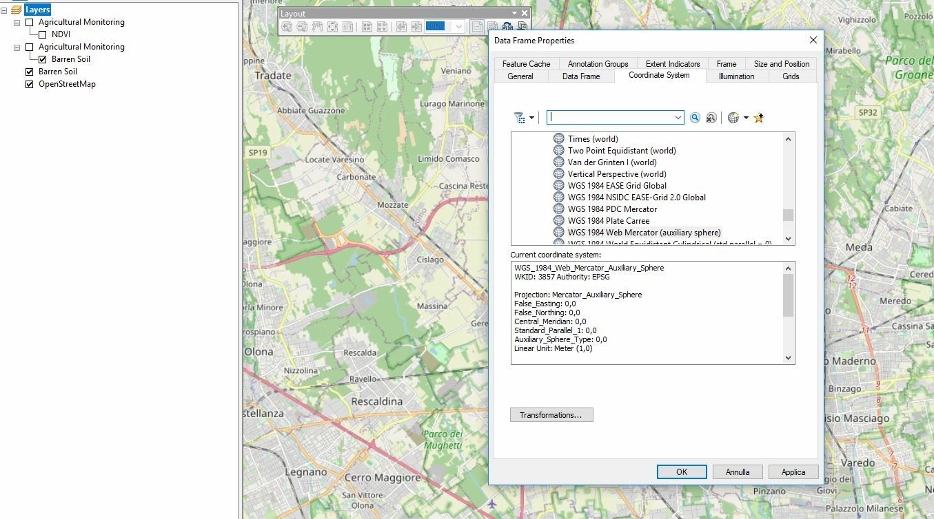
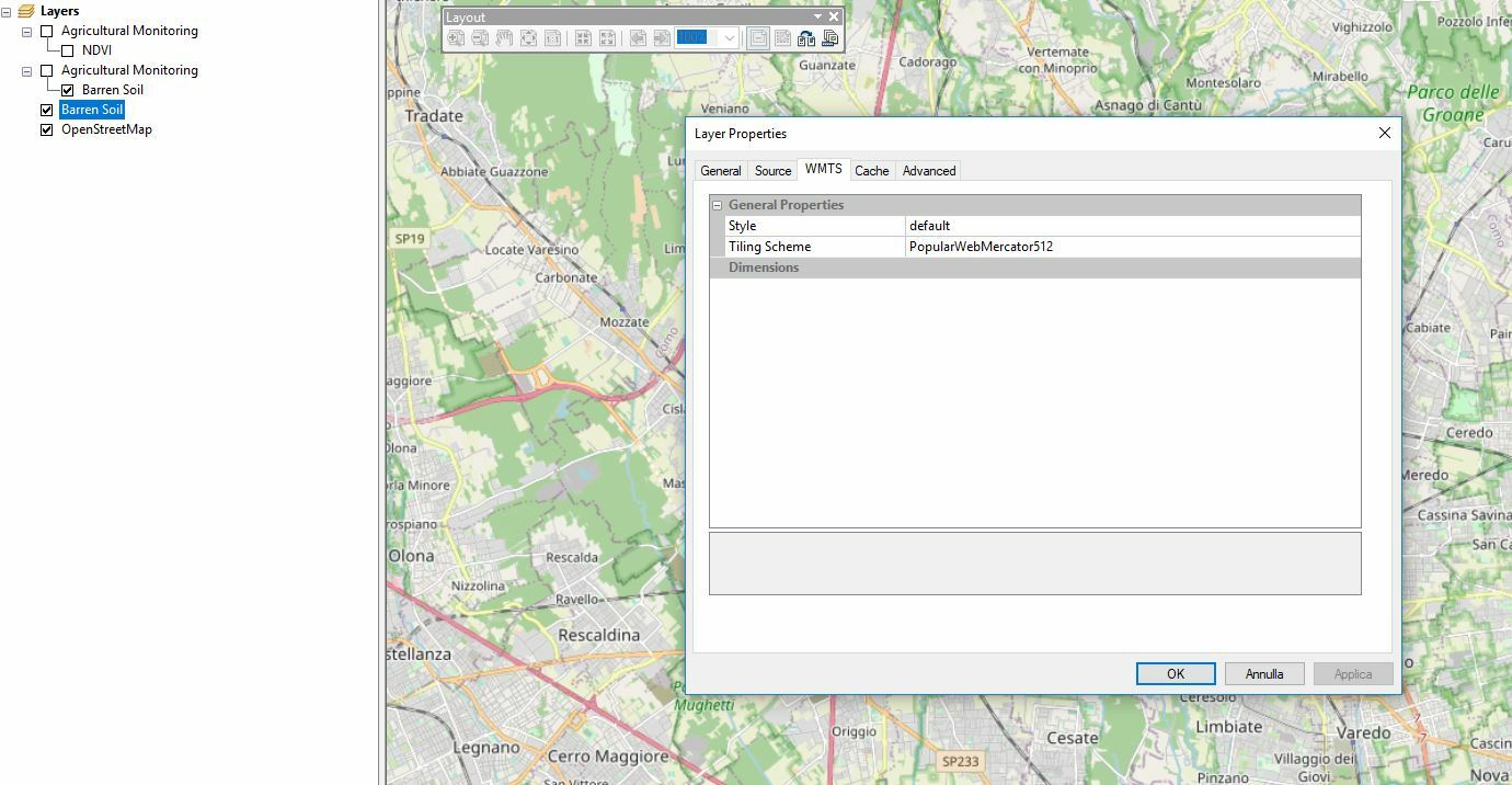
I tried to add a WMTS layer in my ArcGIS map, after connecting the web service. But nothing is visualized. Probabably I make a mistakeā€¦ Is there anybody helping me? Thanks

HiĀ 

That probably has to do with the CRS of the tileset that you select. You should be able to visualize your layers if your tileset CRS is same as the default CRS of ArcGIS. Which I think should be EPSG: 3857.

If that doesnt help, please share some screenshots that can help identify the problem

Ā 


Here my screenshots of data frame settings and wmts layer setting. They seem to be the same. But also if I set them to UTM32N, for instance, nothing is shown.


HeyĀ 

thanks for the screenshots. Could it then be that you are not zooming in enough? You need to really zoom in so that the tiles can be loaded.

other suggestions:

  • check your configuration,e.g you should not have a map bounds in your configuration.
  • try to visualize your WMTS layers with QGIS or ArcGIS online, just to check if your layers are OK.

If that doesnt help, share your WMTS url , but hide the instance ID

Ā 


What do you mean with ā€œyou should not have a map boundsā€?


this


Ok, no map bounds. And trying on ArcGIS online it works. No map is drawn with WMTS in ArcGIS Desktop. In order to avoid CRS issues, I try to add the WMTS layer as first in the project, but no map shown againā€¦


Ā 

I can visualize my wmts layers on ArcGIS pro.

My guess is that the wmts layers are okay. check your ArcGIS software for problems

Ā 


Ā 


Reply