Hi,
could you maybe share the EO Browser link with us. This would help us to check for which date and which collection you are getting problems.
Best,
Hi,
here is the link I used to download the data
https://apps.sentinel-hub.com/eo-browser/?zoom=8&lat=30.52678&lng=72.90253&themeId=DEFAULT-THEME
I have requested for sentinel-s2-l1c, date 2021-06-19 (actually i tried downloading other dates aswell, for all the dates the value in nan)
Hi,
It is not quite clear to me where you might be going wrong when downloading the imagery through EO Browser. When I search for Sentinel-2 L1C data from 19.06.2021 in the provided area of interest, the data is visualised correctly. Please follow this link to check for yourself.
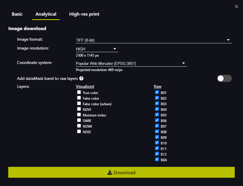
In the download options you then choose the Analytical tab, probably change the image format to TIFF and tick all boxes for the raw bands as shown below.
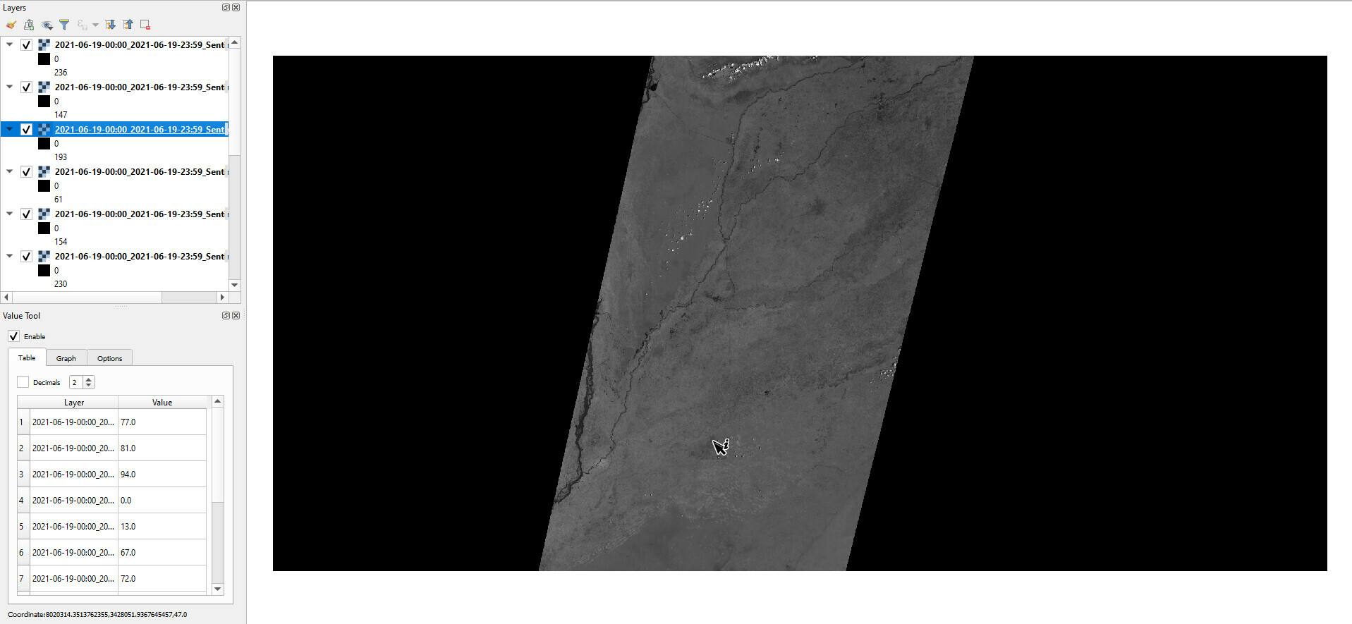
I have no problems to display the downloaded data in e.g QGIS and you can see the values displayed for the cursor position in the lower left corner of the screenshot below.
What are the actual download options you used in the download interface? Do you have any more details for us so we can try and replicate the error you are experiencing?
I hope that helps
Hi,
Thank you for the response
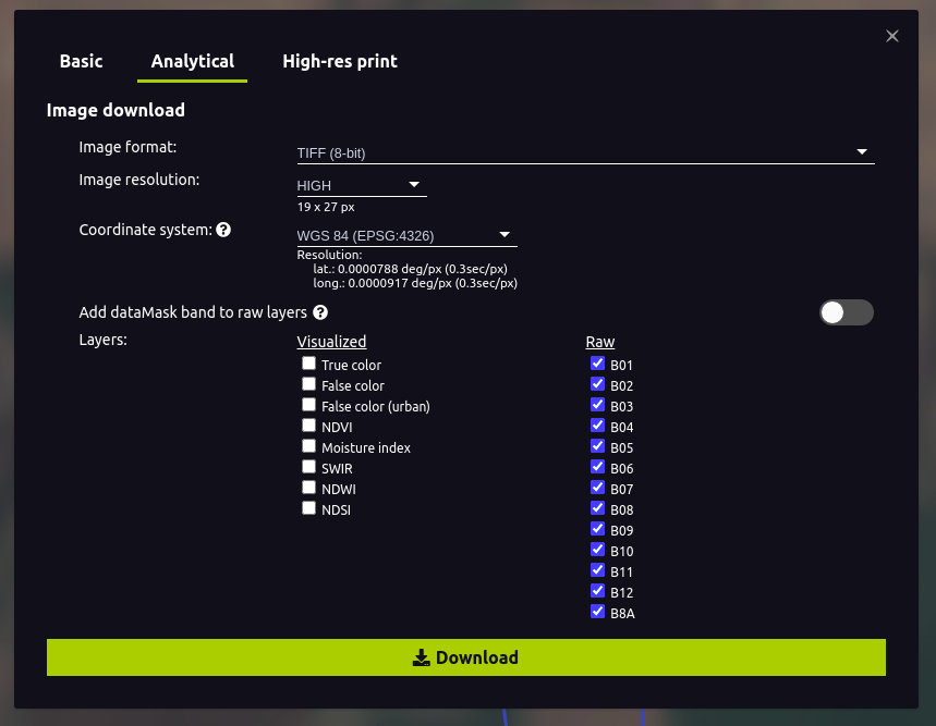
Followed the same procedure as per your suggestions
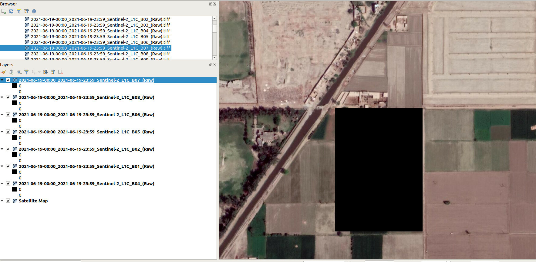
But still we are getting zero values (we checked with QGIS )
We tried with EPSG:4326 as EPSG 3857 was not available in the coordinate system option
Here is the geojson i used with EO browser
{“type”:“FeatureCollection”,“features”:f{“type”:“Feature”,“properties”:{},“geometry”:{“type”:“Polygon”,“coordinates”:typ73.07856056839228,30.28329911154398],[73.07787459343672,30.283310982076873],,73.07785883545876,30.28380925363847],]73.07723723351955,30.28379738316585],]73.07718861848116,30.283297374392692],,73.07683825492859,30.283202989127027],,73.07682450860739,30.282224677605384],,73.07782463729382,30.282199778161473],,73.07790275663137,30.281683547569447],,73.07856727391481,30.28168181038956],]73.07856056839228,30.28329911154398],]73.07787459343672,30.283310982076873],,73.07785883545876,30.28380925363847],]73.07723723351955,30.28379738316585],]73.07718861848116,30.283297374392692],,73.07683825492859,30.283202989127027],,73.07682450860739,30.282224677605384],,73.07782463729382,30.282199778161473],,73.07790275663137,30.281683547569447],,73.07856727391481,30.28168181038956],]73.07856056839228,30.28329911154398]]]}}]}
Could you please help us to get the correct image pixel values?
Regards
Hi,
We figured out that you were using a faulty polygon that caused the error. It traces its own outline back and thus does not contain any area to request data with.
The following geojson works perfectly:
{
"type": "Polygon",
"coordinates": [
[
[73.07856056839228,30.28329911154398],
[73.07787459343672,30.283310982076873],
[73.07785883545876,30.28380925363847],
[73.07723723351955,30.28379738316585],
[73.07718861848116,30.283297374392692],
[73.07683825492859,30.283202989127027],
[73.07682450860739,30.282224677605384],
[73.07782463729382,30.282199778161473],
[73.07790275663137,30.281683547569447],
[73.07856727391481,30.28168181038956],
[73.07856056839228,30.28329911154398]]]
}
Cheers,
Thank you so much for the help
Regards