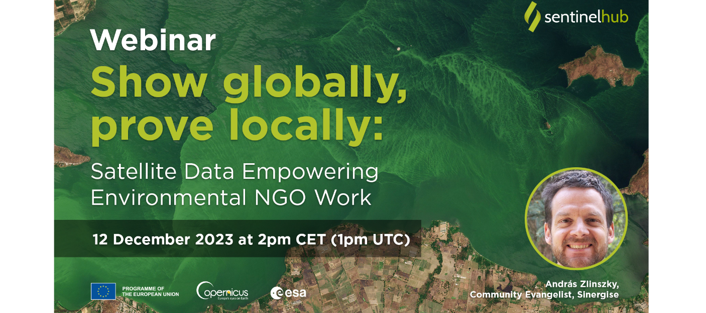
How to use Earth Observation data to support communication and action for the environment?
Earth Observation allows anyone to engage with verified, real-time information on many environmental issues. Social media gives users such as non-governmental organizations (NGOs) the opportunity to reach many people with their messages. Crises on a global scale can be illustrated in a compelling way using images and time series of affected locations, supported by a wide range of visualization tools that do not require geo-information skills. At the local level, satellite imagery enables accurate quantification of the temporal and spatial extent of environmental change, which can be used as evidence in legal cases. In addition to the freely available imagery from the Sentinel and Landsat satellites, high-resolution commercial imagery from Planet is also available at an affordable price.
During this 30-minute live webinar, the presenter Andras Zlinszky will show you:
- How to search, find and prepare satellite imagery using free online data and tools to support common environmental issues.
- How to find time series of satellite imagery to observe change locally, including quantifying magnitude and time.
- How to access and pay for high-resolution Planet data within Sentinel Hub.
- How to scale up remote sensing work for an NGO through the ESA Network of Resources Programme and the Planet Nonprofit programme.
Andras’ presentation will be followed by the Q&A session.
Who should participate? The webinar addresses NGOs active in the fields of environmental protection, research, advocacy or outreach, or individuals who are not yet working for NGOs but are interested in contributing.


