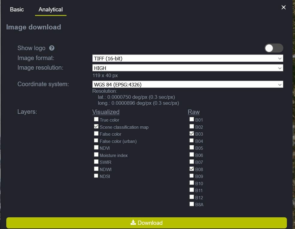
I’ve downloaded Scene classification map products of Sentinel-2 L2A (as GeoTiff, Popular Web Mercator)
The Scene classification map had 3 bands, holding float numbers.
However, this product should have only one band, where each pixel is an integer value representing the land cover class.
Can someone explain this discrepancy?


