Hi Everyone, can somebody help me with procedure how can i get some picture from satellite. Do i have to upgrade with some package. Can someone help me with procedure, who has done it. To tell me how can i get the pictures. Thank you.
Page 1 / 1
Hey,
can you provide more info
- how do you want to get the images
- are you working in python or javascript (or other language)
- are you using one of our libraries (sentinelhub-py, eolearn or sentinelhub-js)
- account info (for start, it’s enough to write only if you already have an account and which plan you have)
That said, here are some links with general infos:
- General Sentinel Hub docs
- Docs for Sentinel Hub APIs
- sentinelhub-py docs
- eolearn docs
- sentinelhub-js docs
Cheers
Also, please refer to our Beginners guide, which explains how to get an image using Requests Builder, Postman, CURL or Python.
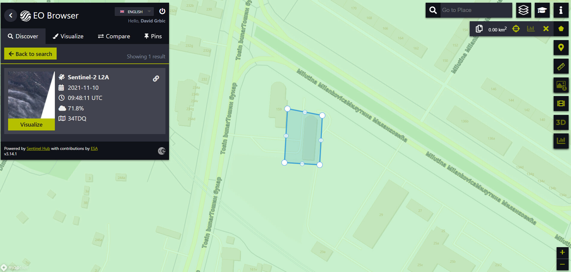
If it’s a one time thing, you can do it in EO Browser
- display the data for the chosen date and visualization,
- create area of interest,
- download image (the downloaded image will have data only for the selected area of interest)
Requests builder helps you generate the code for requesting the data with curl, sentinelhub.py, sentinelhub.js and others. The important pieces that are needed in any case are:
-
geometry,bboxor both (EO Browser allows you to copy the geometry of the selected area of interest) -
time(be sure to always set both start and end of the time interval, even if it’s one day or less; WMS service allows to set only one date - the end of the interval - in that case, the start of the interval is set to the first available date for the selected collection) - visualization (
evalscript; WMS also accepts id of the layer that you created on Dashboard) - size and format of the output image
Both sentinelhub.py and sentinelhub.js allow you to generate the auth token from client id and secret, so you don’t have to generate the auth token manually.
Enter your E-mail address. We'll send you an e-mail with instructions to reset your password.


