Hello,
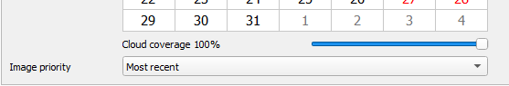
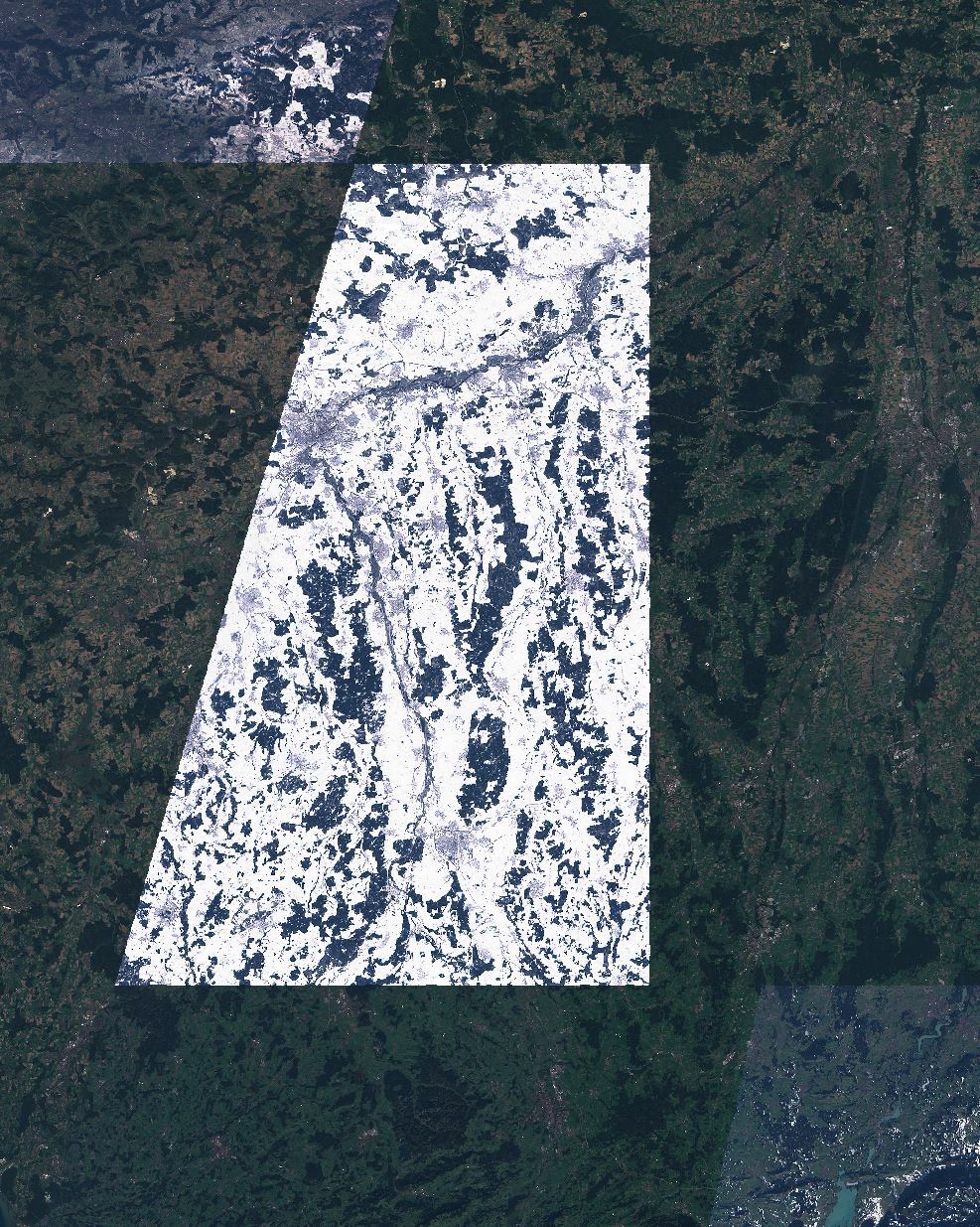
the extension for Sentinel Hub is installed in my QGIS. Creating an image in a timerange from August till now I got back a picture which seemes to have been made from patches of different dates. I was wondering what is the reason for this? Does the system recognise that there are clouds in the area where its snowy and thus takes an image from another date with no clouds?
Thanks alot in advance!
Kind regards