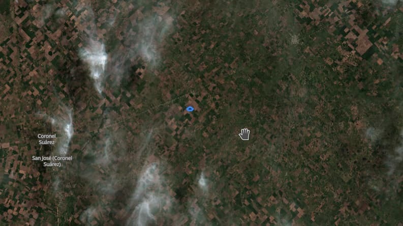
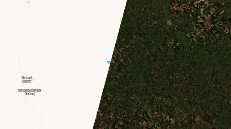
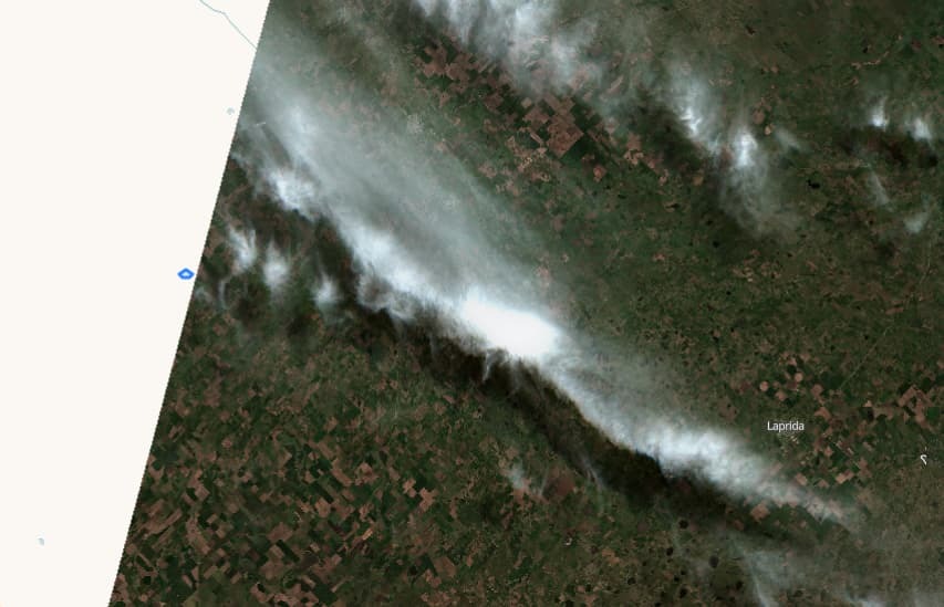
Hi! I’m having a similar problem as this forum topic and, as suggested, I went to EO-Browser to see if my AOI is in the border of the tile.

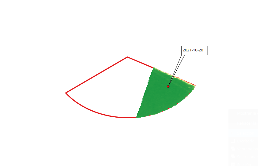
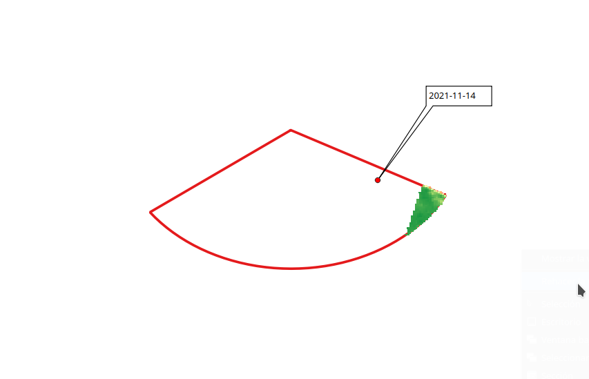
The AOI is not on the border of the tile and in EO-Browser you can see the image being cropped unpredictably. Furthermore, the crop is not the same every time.
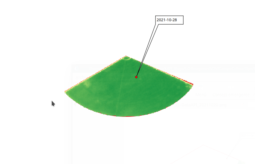
The image for 2021-10-28 is just for reference when the API works OK
2021-10-20 cropped
2021-10-28 normal
2021-11-14 cropped
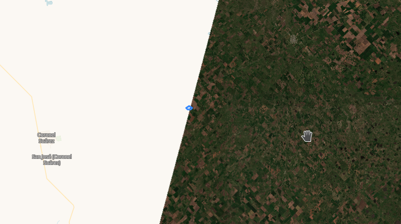
2021-11-09 image not even intersecting AOI (only EO-Browser version)

Best,


Hmm. The pictures you include give me thinking that “yes, your polygon is on the border of the orbit”. It is not on the border of the “tile” - this would not be a problem as Sentinel Hub merges the tiles (when instructed to). But if the polygon is on the border of the orbit, this means that there is simply no data there…

Orbits of the satellites are not 100% the same every pass.


This image and this image and this image show the satellite orbit paths.


Ok! Thanks! So, The way I see it; there is no way to fix or avoid this.
We prefer not to mix data from other days…

Thanks again for the quick response!


You cannot get the “missing” data as there simply is none.

What you can (and should) do is check for dataMask, so that you will know, within the script, whether your polygon is fully covered or not. And then you decide, whether to use this observation or not…


Great! We’re doing something similar where there is overlapped data for the same day and one of the orbits partially covers the AOI.

Thanks again!
Cheers


Reply