I am trying to download a TIFF image of Sentinel2 data for an area of about 2000km2.


How can I do this with the same quality as what the browser shows?


TIFF 32-bit and 10-m CUSTOM x-y resolution gives an error that the image width/height is too large. Any other way to do it?

Hi,

You can download images over your area of interest in several parts through EO Browser and stitch them later. Alternatively, you could use either our Python library module or if you have an AWS Object Storage bucket, you could consider the Asynchronous Process API.


Thanks, but even if I use it this way (via EO Browser) it seems the quality is lower than what I can get from Copernicus Open Access Hub, which saves a much larger file. Not sure what the equivalent setting would be – or do I need to use the API to get the full granule?


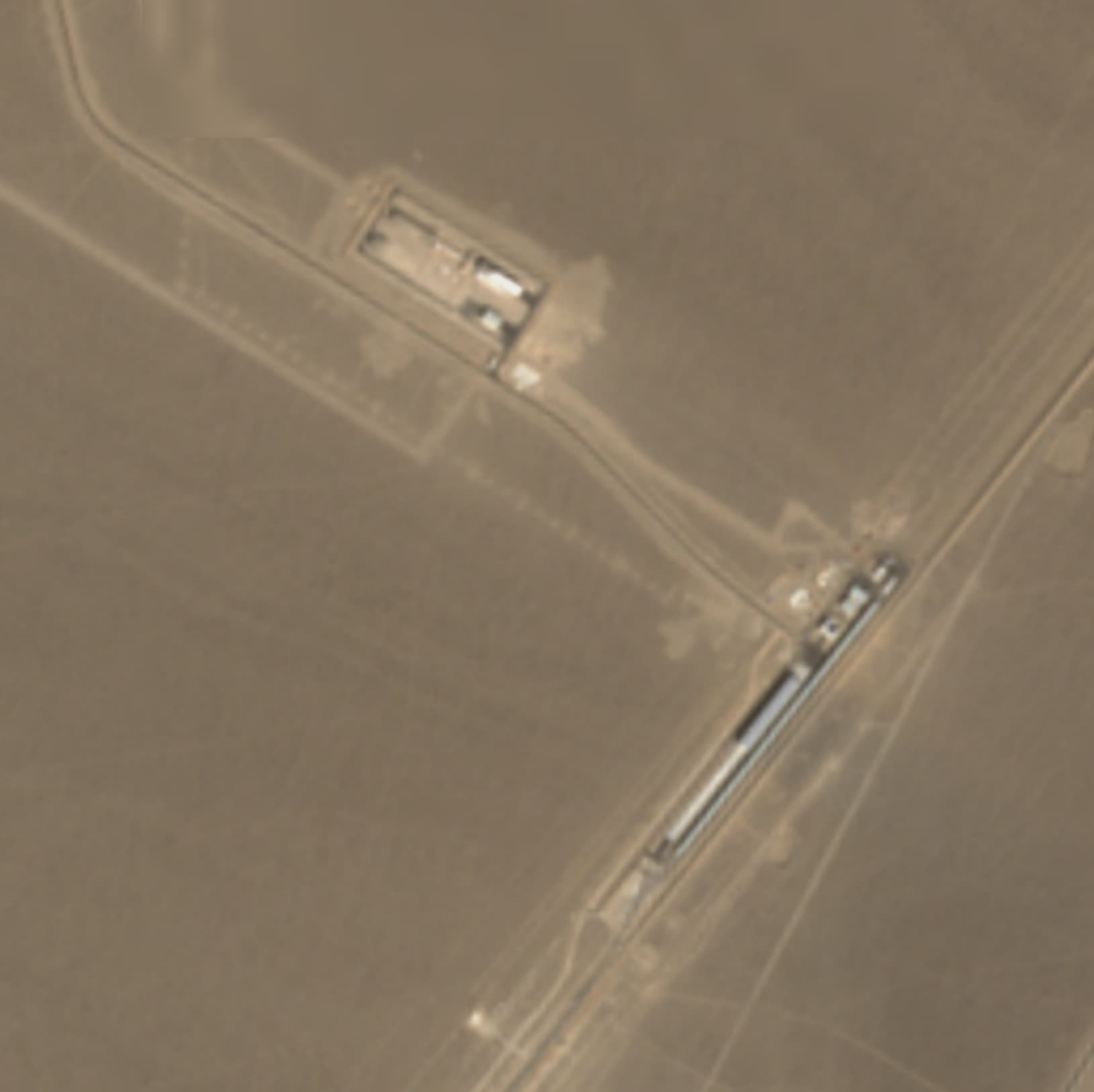
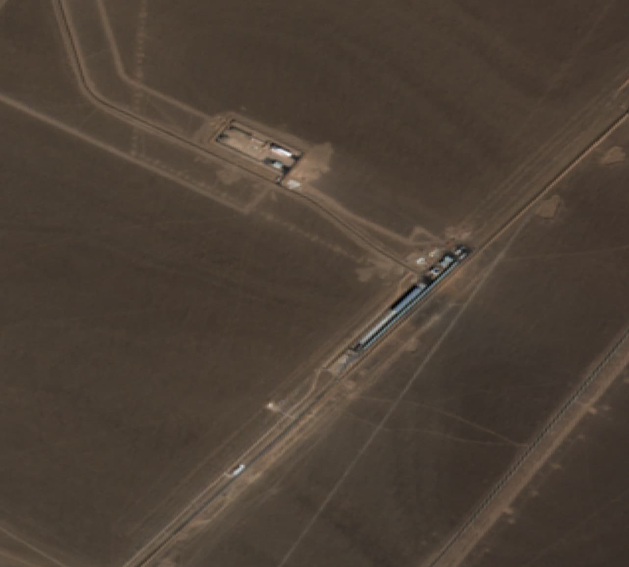
Another thing I don’t understand, and this may need another topic, is that for the the same date Copernicus Open Access Hub (and also the ArcGIS Sentinel2 stream) the imagery is different than EO Browser. Seems EO Browser typically has a more overhead view, while Copernicus has it angled and with different processing (I’ve looked at both 1c and 2a).


Thanks, but even if I use it this way (via EO Browser) it seems the quality is lower than what I can get from Copernicus Open Access Hub, which saves a much larger file


With selection of CUSTOM Image resolution, under the Analytical download tab in EO Browser, you can set the resolution to 10 meters and get the same image as in Copernicus Open Access Hub. The difference is that you are limited to 2500*2500 pixels (which is an advantage if you only want to download a small area and not the entire tile). Alternatively, you may want to look at the new CDSE tool: https://dataspace.copernicus.eu/.


Seems EO Browser typically has a more overhead view, while Copernicus has it angled and with different processing (I’ve looked at both 1c and 2a).


Do you have an example, so that we can take a look? Maybe including a location and date?


Thanks, Copernicus browser has the same 2500 pixel limit – if I want the full location I suppose I need to use the API to get the SciHub file and then cut what I need.


About the angles, if you for example look at the Sentinel-2 imagery of this location: Sentinel Hub EO Browser, Browser view is very different than the view of SciHub link if I open it in ArcGIS. Why is that?


if I want the full location I suppose I need to use the API to get the SciHub file and then cut what I need.


You could also take a look at our Python package which would enable you to get the larger area without having to download the tile and then cut the image.


Concerning the angles: thank you for the example! Although it looks like the images have different viewing angles between ArcGIS and EO Browser, this is an optical illusion caused by projection. EO Browser’s projection is EPSG: 3857. If you set that projection in ArcGIS, you will see the same image (it looks like you are in EPSG: 4326 from your screenshot).


Reply