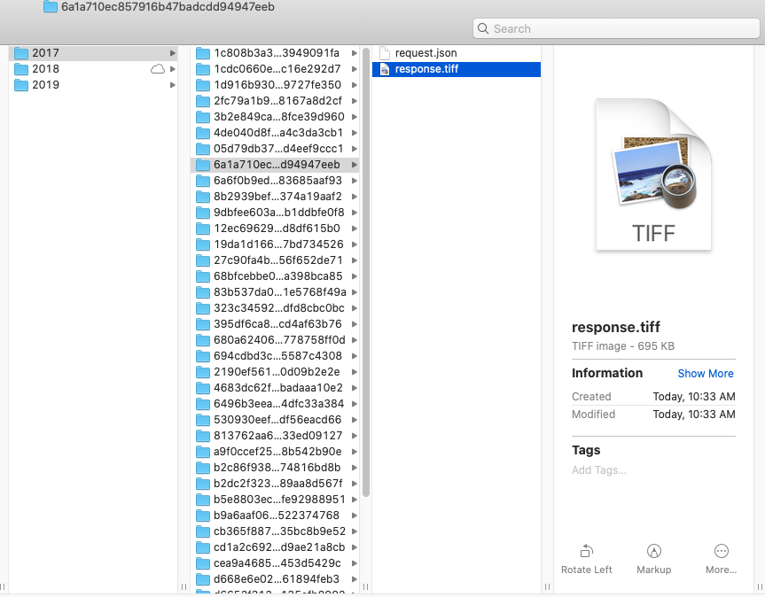
I noticed that the data downloaded using the WmsRequest as in the tutorial is a tiff file with no geospatial information. That being said, I can not open them in my QGIS together with my other files. I am wondering if there is a way to download these raw bands in geotiff, esri shape files or the jb2 format so that I can analyze the data in qGIS or crop it further using rasterio in python
wms_bands_request_2017 = WmsRequest(
    layer='BANDS-S2-L2A',
    bbox=crown_bbox,
    time=('2017-03-01','2017-11-30'),
    width=856,
    height=856,
    image_format=MimeType.TIFF_d32f,
    config=config,
    data_folder = 'C:\\User\\BANDS-S2-L2A\\2017'
)
`


