Hello,
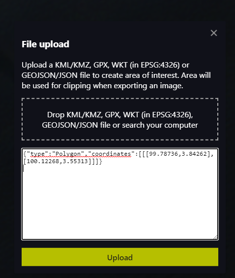
Can i plot multipolygon by simply pasting the code in the popup?
I’m trying to plot a line using :{“type”:“Polygon”,“coordinates”:[[[99.78736,3.84262],[99.8001972,3.83161]]]}
and a dot using: {“type”:“Polygon”,“coordinates”:[[[99.8001972,3.83161]]]}
It works when i plot one or the other, but i have no clue how to plot both of them.
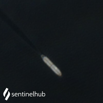
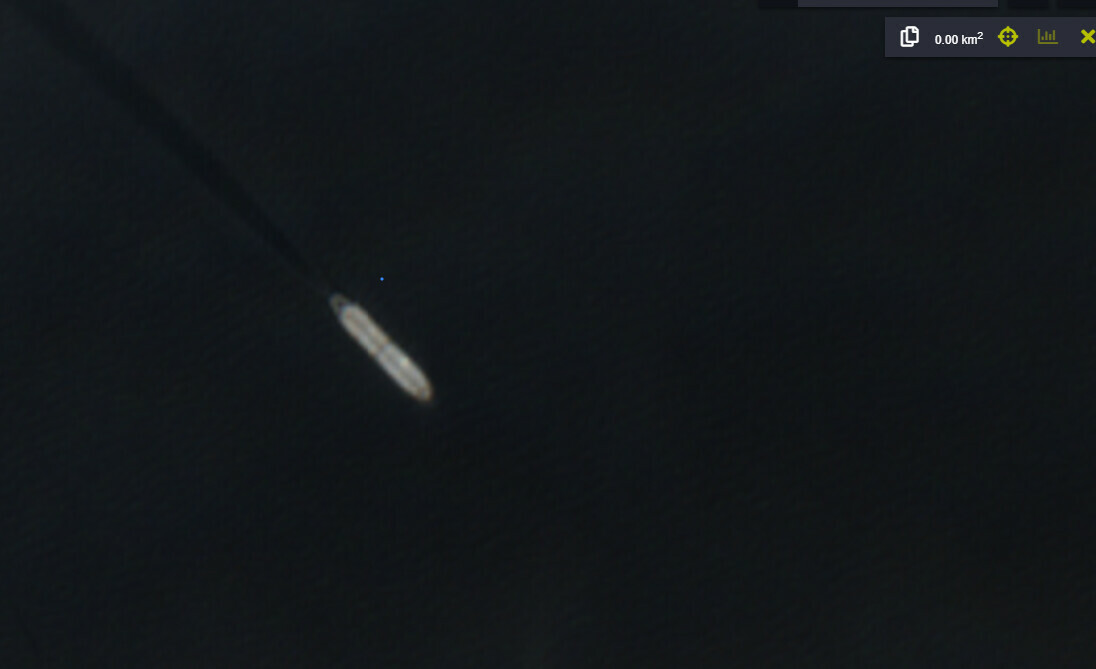
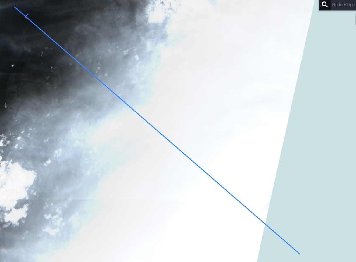
Idea is to pinpoint the position of a ship in the below photo:
apps.sentinel-hub.com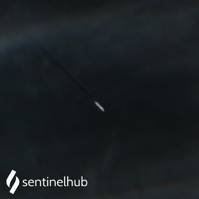
Sentinel-hub EO-Browser3
Sentinel-2 L2A imagery taken on January 6, 2022