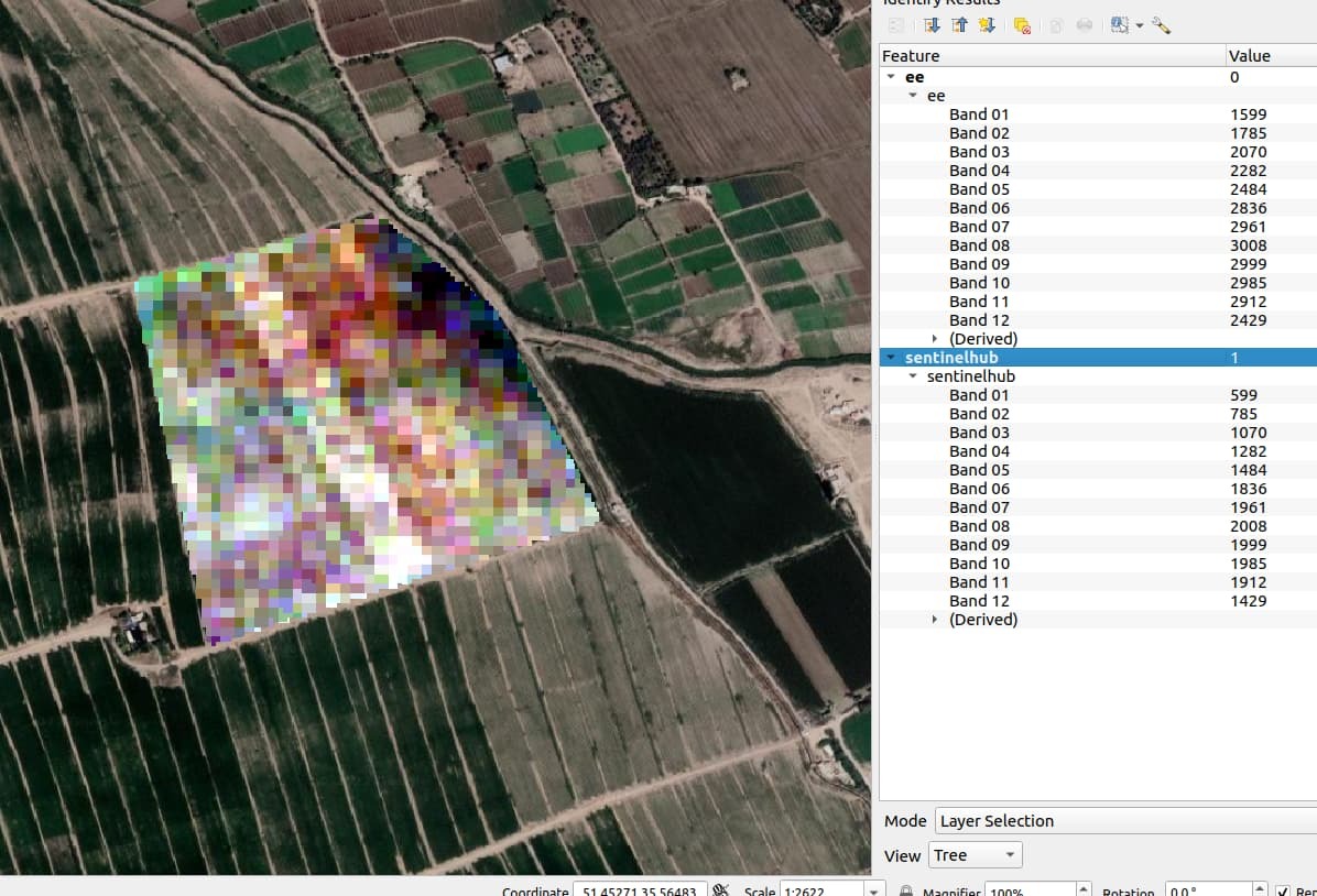
Hi there,
I’m using the sentinelhub process api to download raw sentinel-2 L2A imagery.
I noticed that pixel values are a bit different from other sources.
For example each pixel is 1000 units less than the same values from google earth engine.
Is there something wrong with my process?
P.S. here’s my evalscript
“”"
//VERSION=3
    function setup() {
        return {
            input: [{
                bands: ["B01", "B02", "B03", "B04", "B05", "B06", "B07", "B08", "B8A", "B09", "B11", "B12" ],
                units: "DN"
            }],
            output: {
                bands: 12,
                sampleType: SampleType.UINT16,
            }
        };
    }

    function evaluatePixel(sample) {
        return [sample.B01, sample.B02, sample.B03, sample.B04, sample.B05, sample.B06, sample.B07, sample.B08, sample.B8A, sample.B09, sample.B1972, sample.B12];
    }
"""


