Hi There
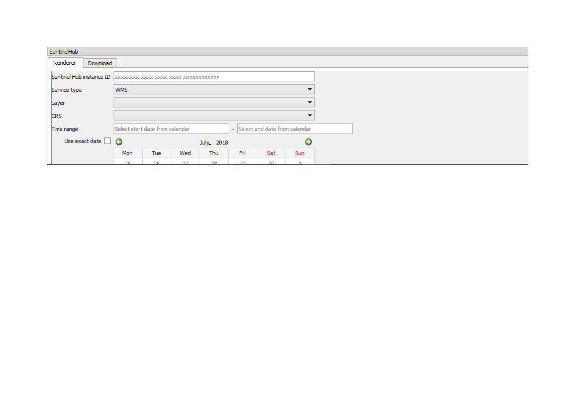
I am still new to using sentinel hub for my sentinel 2 image download. At work we use the sentinel hub configuration utility to generate some of or index maps. Can someone please guide me on how I would go about configuring a wms which would allow me to download and open atmospherically corrected images in QGIS which I can do further processing on. I need access to bands 2,3,4,5,6,7,8,8a,1972,12. I am based in Africa and therefore cant use the recent L2a products which only cover europe.
My study area is large and I would like to run a land classification on multiple sentinel2 tiles. Downloading and atmospheric correction manually is consuming far too much of my time. Any advice on how to set up a wms that would allow me to download atmospherically corrected sentinel 2 tiles in QGIS for this purpose would be greatly appreciated.


