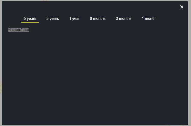
I selected the Landsat 8 data, I wanted to draw time series of NDVI for a crop field, I uploaded KML polygon but when I wanted to draw FIS chart the graphs did not appear and said: “no data found”.


For the Sentinel 2, it works well but I need to draw FIS chart of NDVI derived from Landsat 8.

Can you be more specific in where you have tried this and how?

I just checked this option on a random location and it worked OK for me.


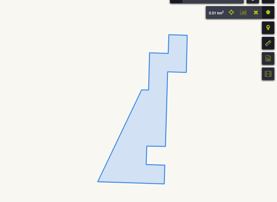
This is a screenshot of the area, I wished to share with you KML file but as a new user and cannot upload the attachment. Probably the area is very small (0.01 km^2). For the bigger area polygons, it works but not for the smaller ones, less than 0.4 km^2.


Landsat resolution is 30meters so one pixel has an area of 0.01 px… If you are close to this, it will certainly not work.


Reply