
Hey all, new user here!
I need to import a polygon grid from ArcMap to do remote-sensing analysis. I noticed that exporting .shp to .kmz allows me to visualize polygons adequately in Manitoba.
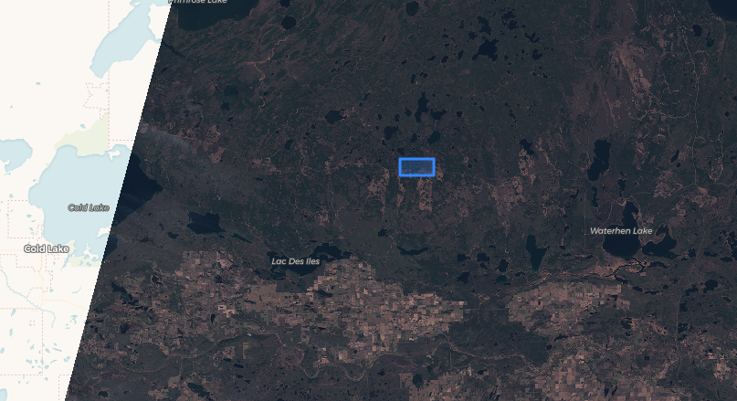
However, when trying to import a similar polygon grid in Alberta or Saskatchewan, only one polygon shows up on the map. (image of what shows on EO-browser affter importing the kmz file in Saskatchewan)
Has anyone encountered this before?
Thank you in advance!
