Hello everyone,
I’ve been trying to apply the Scene Classification algorithm in Sentinel Hub to classify land use within specific vector polygons in QGIS. However, I’m encountering difficulties and I suspect it might be due to a Coordinate Reference System (CRS) mismatch between the vector layer and the Sentinel Hub satellite image.
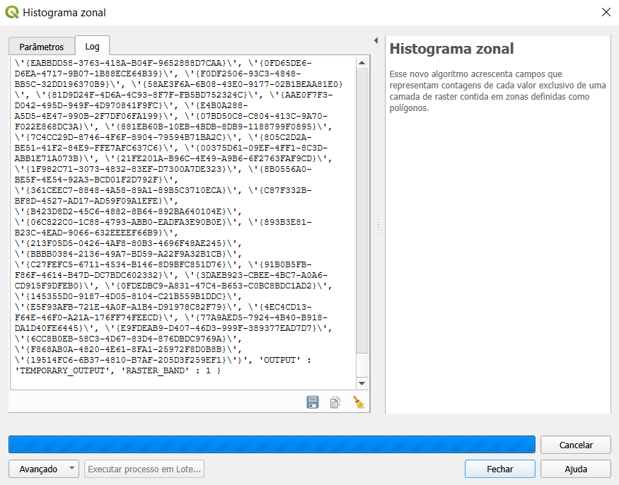
I’m attempting to generate a zonal histogram by using the Sentinel Hub satellite image as a raster layer and overlaying it with a vector layer. Unfortunately, when I initiate the process in QGIS, it seems to run indefinitely without completion. This situation exhausts my Processing Units on Sentinel Hub, preventing the process from finishing.
Could the discrepancy in CRS values between the vector layer and the Sentinel Hub satellite image be causing this issue? If so, how can I address it to ensure proper execution of the Scene Classification algorithm and successful generation of the zonal histogram?
I appreciate any insights or guidance you can provide regarding this problem. Thank you in advance for your help!
Best regards,
Ciro