As the Topic described, how to change the MODIS output data’s crs.

Seems like there were not useful infomation about the output data reprojection or it is too obscure in CRS Support. I’ve tried to change the input.data.bounds.properties.crs to my destnation crs and the result seems like incorrect.

Here is the example.


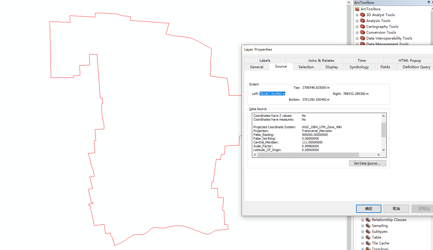
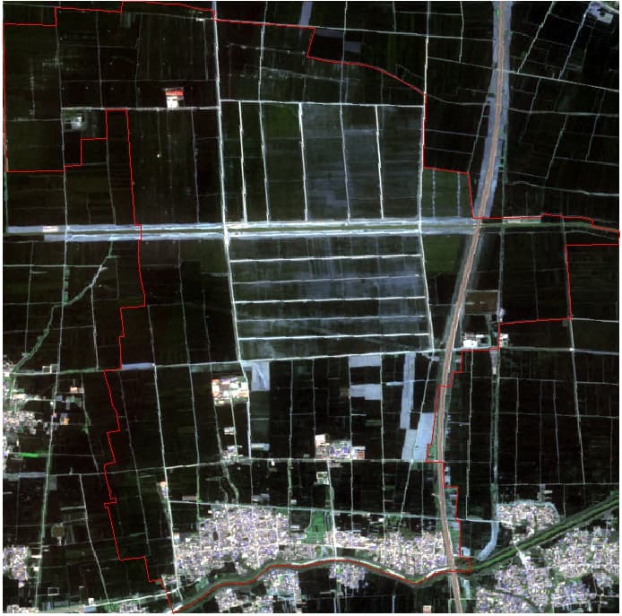
This is the true color image of target area generated by S2 .


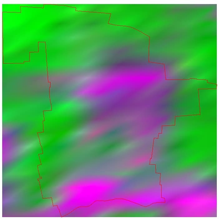
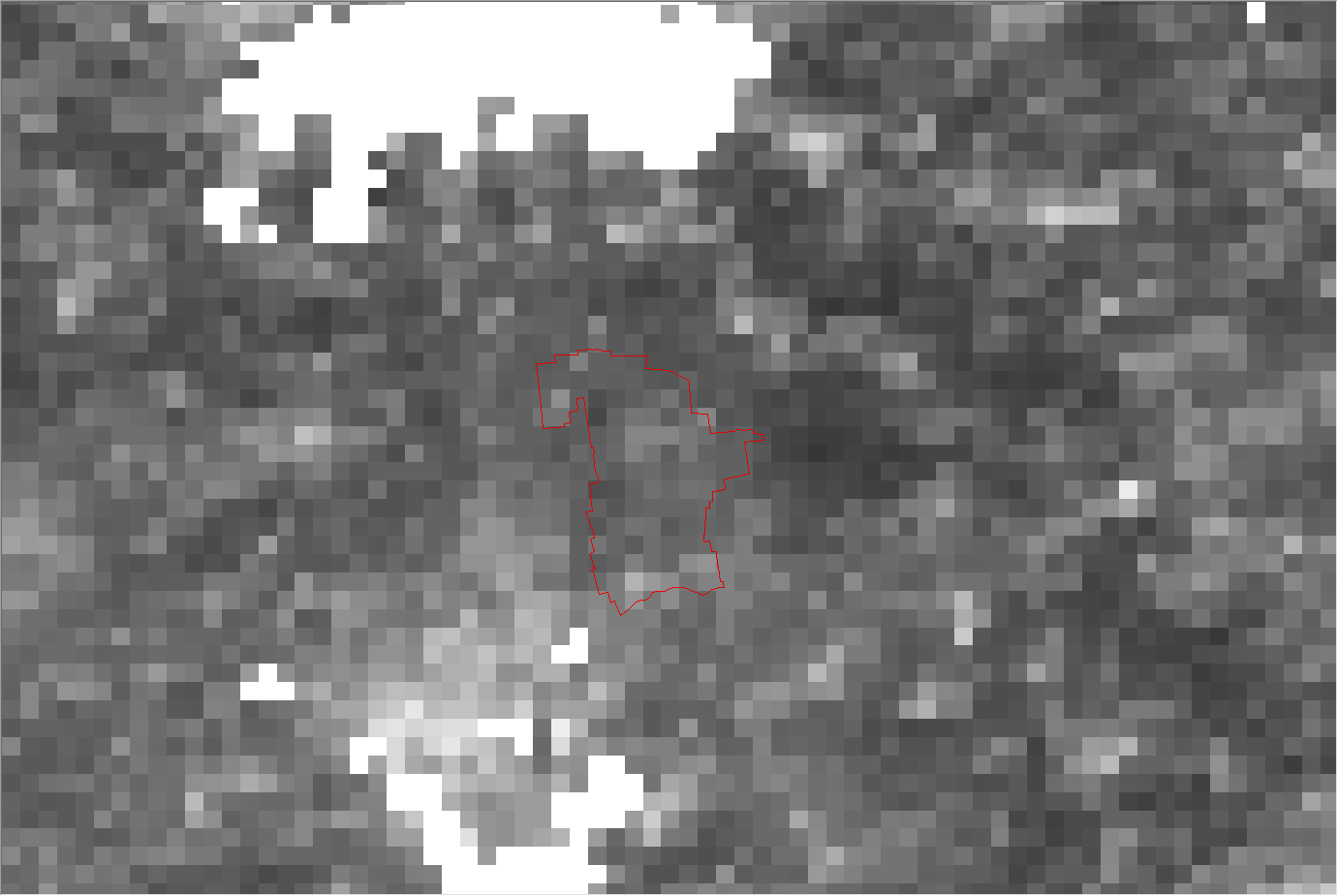
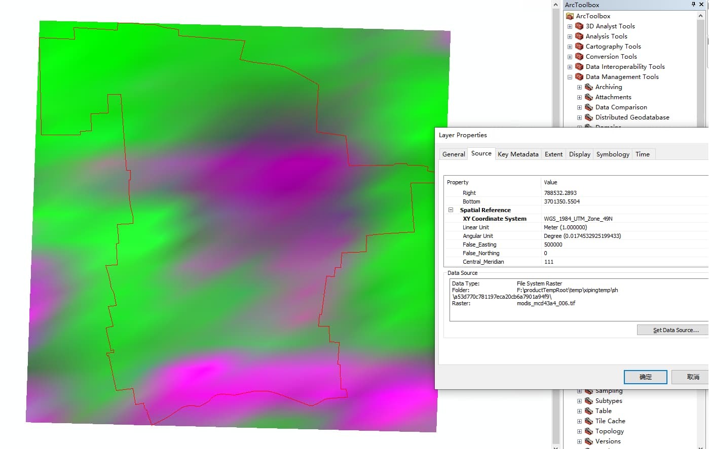
This is the MODIS data of the target area after I set the input.data.bounds.properties.crs to UTM_numberN, the image looks oblique,even I set with the default WGS84, the display effect is not very different.

And, as a comparsion I download the MODIS file from USGS in HDF format and reproject to WGS84 with MRT tool , the result looks normal.


So, Is there any way to reproject thre MODIS data to a certain crs ,or my method mentioned above is wrong?

The CRS that you specify under input.data.bounds.properties.crs should be the CRS associated with your input geometry.


In that case then , you should get the correct output, ( output should be in the CRS you defined).


If that is not the case please share more info regarding your workflow.


The CRS that you specify under input.data.bounds.properties.crs should be the CRS associated with your input geometry.

Actually, If I do not set the input.data.bounds.properties.crs associated with the geometry, the api will throw an error, so, I’ve properly set the parameters and and the input geometry is well organized, I can threrefore get the result.


Ok, that seeemd to have solved the CRS problem.


but if you got further questions, in addition please share:


  • the API request you used to request the MODIS data

  • the kind of output you actually expect to get i.e which bands ? true color ? etc

Best regards


Reply