
so I am using WMSLayer and I have successful placed my clipped image on the map but I want a situation where when I hover most preferred or on click I get the ndvi, ndwi or savi value of image layer
Here is my evalscript that I am using in my OGC
//VERSION=3

let viz = ColorGradientVisualizer.createWhiteGreen();

function evaluatePixel(samples) {
    let val = index(samples.B08, samples.B04);
    val = viz.process(val);
    val.push(samples.dataMask);
    return val;
}

function setup() {
  return {
    input: [{
      bands: [
        "B04",
        "B08",
        "dataMask"
      ]
    }],
    output: {
      bands: 4
    }
  }
}
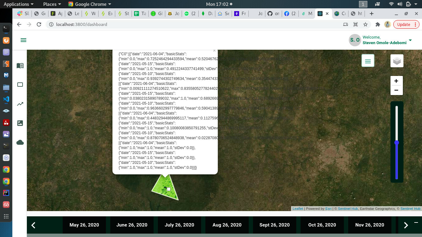
using the FIS endpoint this is what I get in the screenshot I have attached please I am new to this and I will appreciate a detailed walk down of the process please
Thank you 🤗
