We need to access the orthorectified/surface reflectance processing level. In addition, we want to avoid any tasks that may lead to data resampling, aside from atmospheric correction and orthorectification. Therefore, if possible, we would like to access data in the same structure of tilling and resolutions as their original data source (Landsat8-USGS & Copernicus .
Datasets/processing level/ bands/spatial resolution:
| DATASET | BANDS | RESOLUTION (m) |
|---|---|---|
| landsat-ot-l2 | B02, B03, B04, B05, B06, B07 | 30m |
| sentinel-2-l2a | B02, B03, B04, B05, B06, B07, B08, B08A, B1972, B12 | 10, 20m |
Time range:
· From = 2017-01-01
· To = 2021-10-08
Temporal Resolution:
· We would like to access all the scenes within the predetermined time range, except those with 100% cloud coverage
Cloud coverage filter:
· Landsat 8 = ~ 80%
· Sentinel2 = ~ 60%
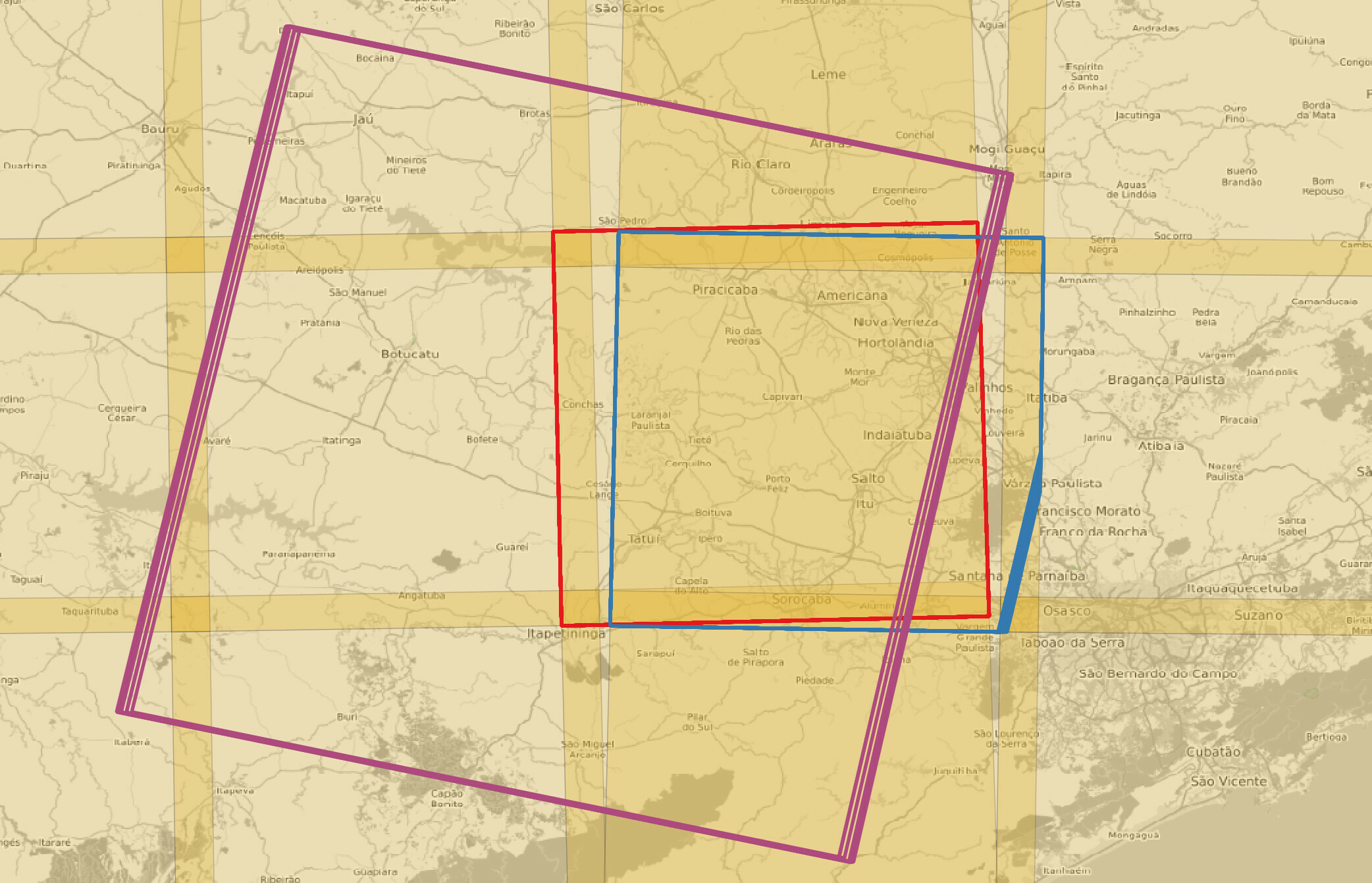
AOI - Area of interest:
· Sentinel2 tile: 23KKQ
· Landsat 8 tile: 220076
We are suggesting the AOI based on the original data source tilling, to avoid pixel resampling due mosaicking and/or cropping.
Does it make sense? If possible, to subset the scene without significant resampling we would like to use Sentinel2 tile 23KKG as AIO for Landsat 8 as well.