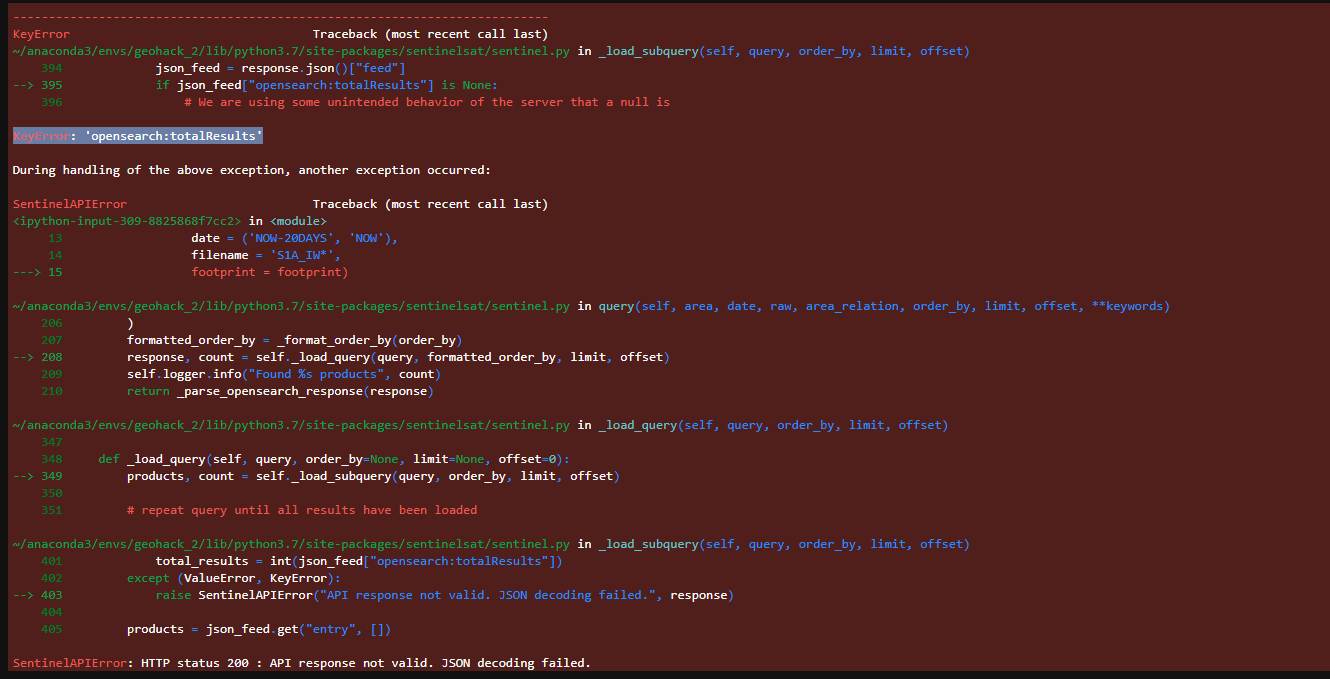
I have been trying to collect Sentinel-1 data, specifically trying to use the search query to sort by footprint but am having trouble doing so as none of the formats I use as an input parameter seem to work.
In the documentation specifically the footprint parameter is a path to a geojson file, yet when I tried that I got the same error I’ve been getting for every type of ‘footprint’ parameter I tried.
What is the way to fix this? I know this specific polygon should have data based on the KML file that shows projected location.
Some things I’ve tried:
- platformname, producttyle, date, filename all work together
- cloudcoverpercentage also works in conjuctions
- tried json object (polygon and point) (with and without ‘intersect/intersects’)
- tried geojson object multipolygon (with and without intersect/intersects)
- tried string (with and without ‘intersect/intersects’)
- tried footprint on its own ^ all those types as the only argument in api.query and that also did not work
my “code”:
map_path = ‘/warm/data_pipeline_tools/map.geojson’
read_geojson(map_path)
footprint = geojson_to_wkt(read_geojson(map_path))
prods = api.query(platformname = ‘Sentinel-1’,
producttype = ‘SLC’,
date = (‘NOW-20DAYS’, ‘NOW’),
filename = ‘S1A_IW*’,
footprint = footprint)


