
CRS for Sentinel Hub images

  • April 26, 2024
  • 2 replies
  • 104 views

Hi there,

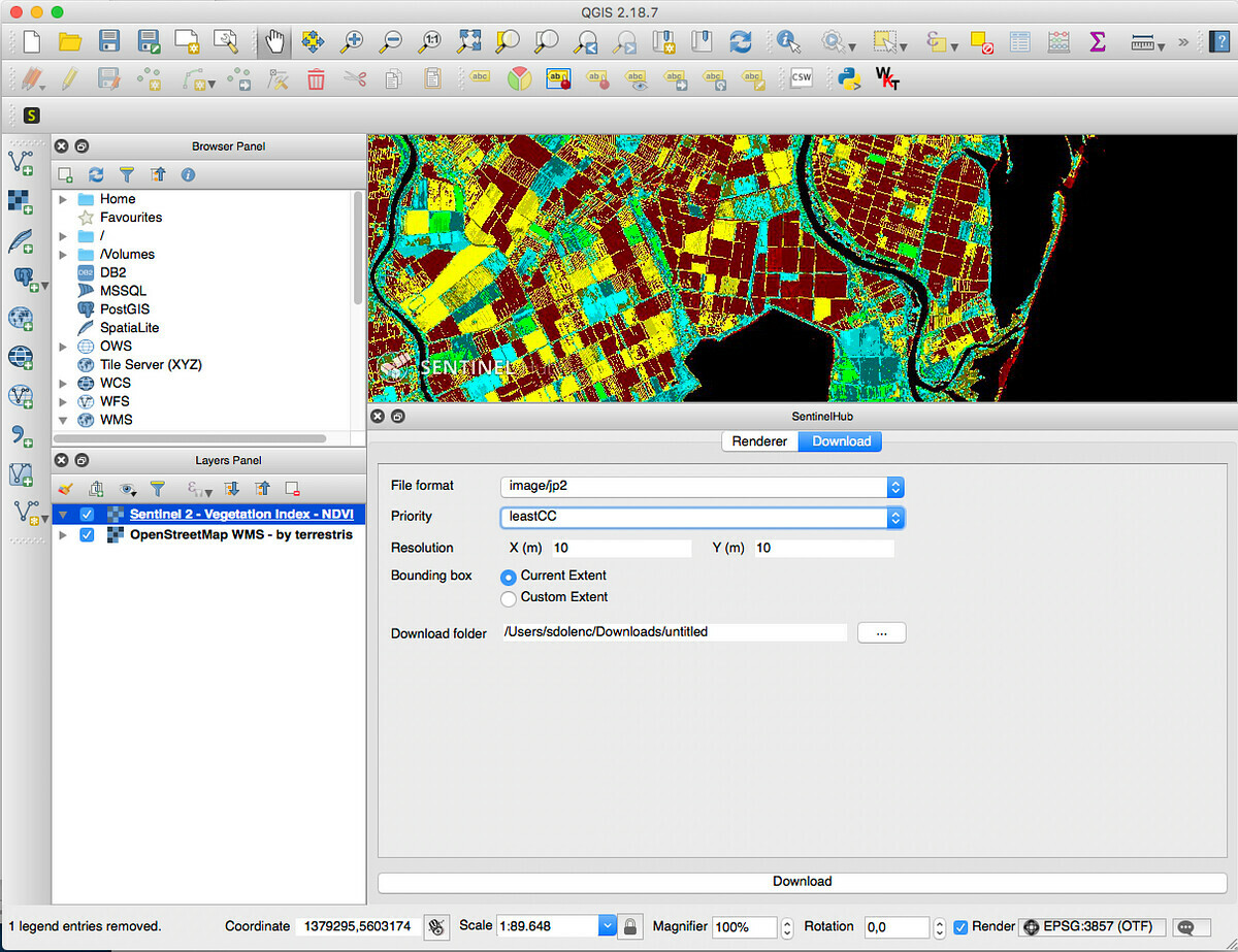
Just creating my first few GIS images from Sentinel Hub. They look great but when I put them into QGIS they are about 1000 miles too far south. Which coordinate reference system should I be using for these? Or is there another setting that I should alter? (The images in question are of Burkina Faso)

Thanks!

2 replies

  • 4852 posts replied to
  • April 26, 2024

How did you get the
Images? If in EO Browser, tey are either in EPSG:3857 or EPSG:4326.
I suggest you try QGIS plugin

360db83263e79cba7951e7ba15aa4495131aa0f1.pngMedium – 1 Dec 17
e77bc7e240612ce52ad57af53373b599ef2d2672.jpg

Control Sentinel Hub from within QGIS

Sentinel Hub QGIS Plugin

Reading time: 3 min read


  • Author
  • 3963 posts replied to
  • April 26, 2024
 

They look great but when I put them into QGIS they are about 1000 miles too far south.

Sounds like you are trying to display the images which are in ESPG:4326 as EPSG:3857.