I’m trying to clip the WMS layer to multiple geometries.
My understanding is that the WMS layer call accepts “GEOMETRY” as a parameter, and that a “MultiPolygon” is the accepted way to clip the layer to multiple geometries.
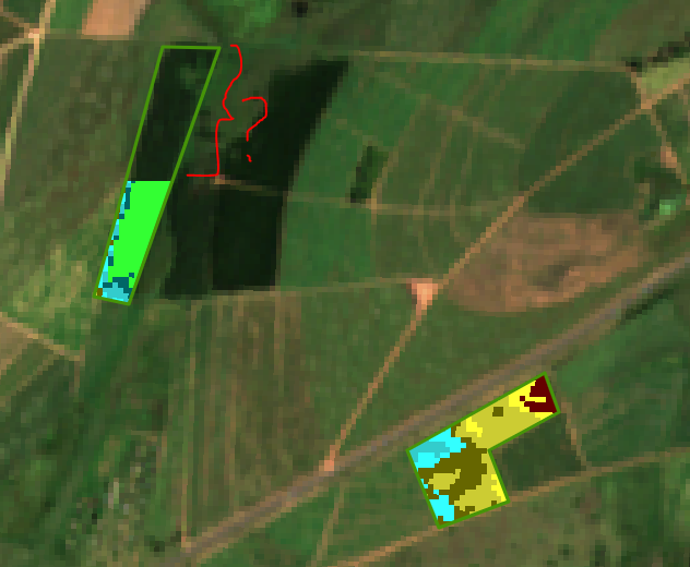
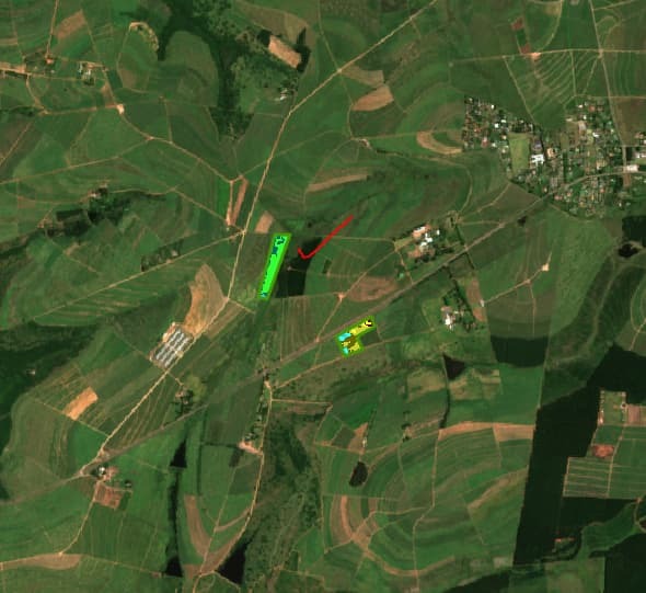
The problem is that the data returned is not “filling” all polygon’s (see image), and not quite sure what I am doing wrong.
If I zoom out significantly, the area that is missing is filled.
Any idea what the issue could be?
This is the WKT for the geometry:
MULTIPOLYGON (((30.551724654842133 -29.44420920817081, 30.55235458417772 -29.445546325014504, 30.553732554600685 -29.445100621357035, 30.553338848766884 -29.44420920817081, 30.55471681918985 -29.443557785890043, 30.554441225104654 -29.442889216571032, 30.551724654842133 -29.44420920817037), (30.54692144365424 -29.43730049053851, 30.545582843814714 -29.441569207807582, 30.546271829025443 -29.44170635237385, 30.548043505283715 -29.437317634340324, 30.54692144365424 -29.43730049053851)))
Below is an example of the request URL:
https://services.sentinel-hub.com/ogc/wms/e3********************************66?service=WMS&request=GetMap&layers=NDVI&styles=&format=image%2Fpng&transparent=true&version=1.1.1&maxcc=50&time=2023-01-08%2F2023-01-08&geometry=MULTIPOLYGON%20(((30.551724654842133%20-29.44420920817037%2C%2030.55235458417772%20-29.445546325014504%2C%2030.553732554600685%20-29.445100621357035%2C%2030.553338848766884%20-29.44420920817037%2C%2030.55471681918985%20-29.443557785890043%2C%2030.554441225104654%20-29.442889216571032%2C%2030.551724654842133%20-29.44420920817037)%2C%20(30.54692144365424%20-29.43730049053851%2C%2030.545582843814714%20-29.441569207807582%2C%2030.546271829025443%20-29.44170635237385%2C%2030.548043505283715%20-29.437317634340324%2C%2030.54692144365424%20-29.43730049053851)))&width=512&height=512&srs=EPSG%3A4326&bbox=30.541992187500004,-29.44916482692468,30.552978515625004,-29.439597566602902


