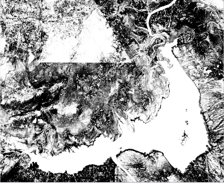
After exploring BlueDot Water Observatory Backend code ,I have tried some simple steps on different resolution satellite images. One of NDWI input:-
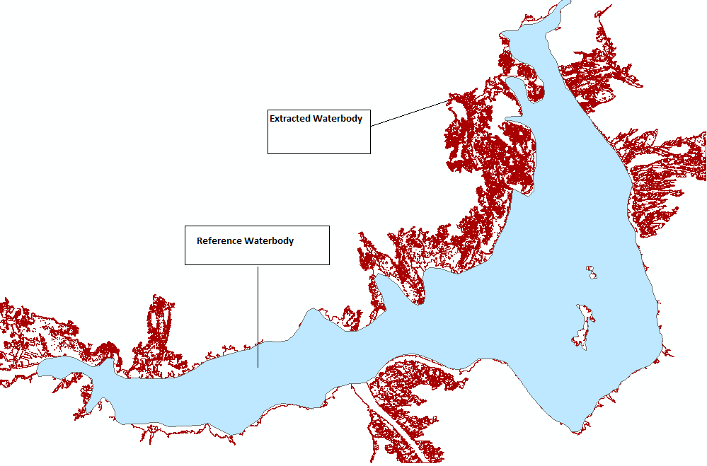
Somehow I was able to extract the water body from the given satellite image(5m res).But the water body result I am getting is connected with lots of unwanted stream .I want to clip those streams from main water body area. My output is like this:
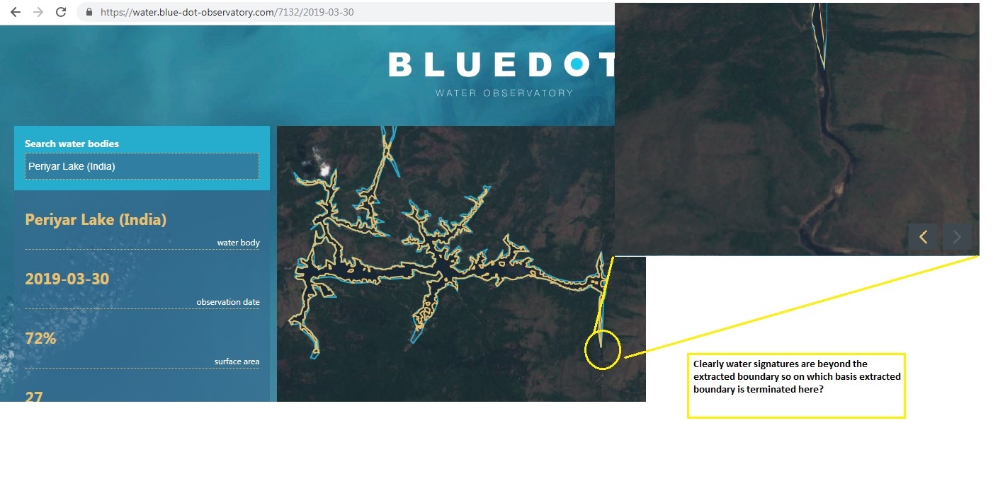
And in Blue Dot Observatory ,the streams are clipped off at some extent. Like shown in this example:
I want to know on which basis it is decided where to clip off the streams?


