Hello Team,
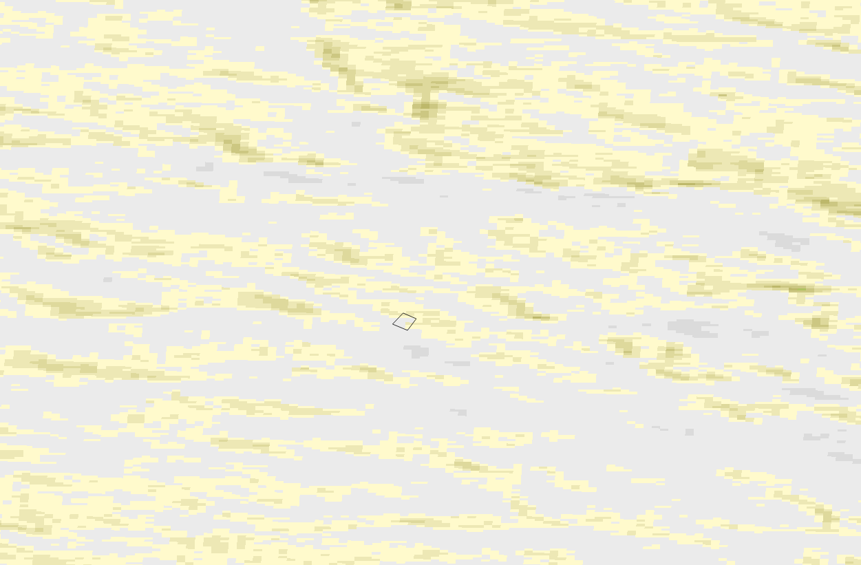
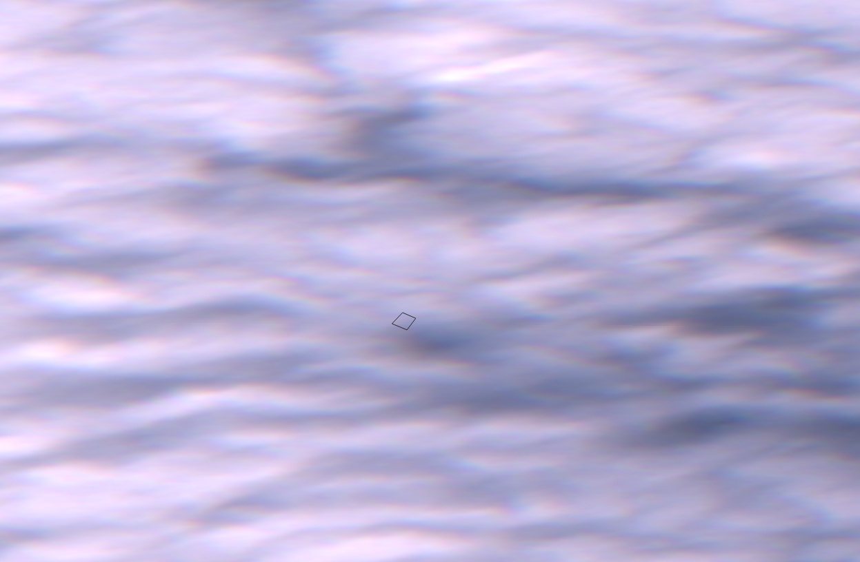
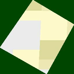
We have agriculture android app, in which we provide agriculture related information to farmers and now we want to integrate NDVI images with our app. I am trying to fetch images through API but i am getting some strange images.
i have used following request,
curl -X POST
https://services.sentinel-hub.com/api/v1/process
-H ‘Authorization: Bearer my-token’
-H ‘Content-Type: multipart/form-data’
-F ‘request={
“input”: {
“bounds”: {
“properties”: {
“crs”: “http://www.opengis.net/def/crs/OGC/1.3/CRS84”
},
“geometry”: {
“type”: “Polygon”,
“coordinates”: [
[
[
16.150164, 74.418441
],
[
16.150509, 74.418897
],
[
16.149991, 74.419122
],
[
16.149576, 74.418685
],
[
16.150164, 74.418441
]
]
]
}
},
“data”: [
{
“type”: “S2L2A”,
“dataFilter”: {
“timeRange”: {
“from”: “2020-09-10T00:00:00Z”,
“to”: “2020-09-15T00:00:00Z”
}
}
}
]
},
“output”: {
“responses”: [
{
“identifier”: “default”,
“format”: {
“type”: “image/jpeg”,
“quality”: 80
}
}
]
}
}’
-F 'evalscript=//VERSION=3
function setup() {
return {
input: [{
bands:[“B04”, “B08”],
}],
output: {
id: “default”,
bands: 3,
}
}
}
function evaluatePixel(sample) {
let ndvi = (sample.B08 - sample.B04) / (sample.B08 + sample.B04)
if (ndvi<-0.5) return [0.05,0.05,0.05]
else if (ndvi<-0.2) return [0.75,0.75,0.75]
else if (ndvi<-0.1) return [0.86,0.86,0.86]
else if (ndvi<0) return [0.92,0.92,0.92]
else if (ndvi<0.025) return [1,0.98,0.8]
else if (ndvi<0.05) return [0.93,0.91,0.71]
else if (ndvi<0.075) return [0.87,0.85,0.61]
else if (ndvi<0.1) return [0.8,0.78,0.51]
else if (ndvi<0.125) return [0.74,0.72,0.42]
else if (ndvi<0.15) return [0.69,0.76,0.38]
else if (ndvi<0.175) return [0.64,0.8,0.35]
else if (ndvi<0.2) return [0.57,0.75,0.32]
else if (ndvi<0.25) return [0.5,0.7,0.28]
else if (ndvi<0.3) return [0.44,0.64,0.25]
else if (ndvi<0.35) return [0.38,0.59,0.21]
else if (ndvi<0.4) return [0.31,0.54,0.18]
else if (ndvi<0.45) return [0.25,0.49,0.14]
else if (ndvi<0.5) return [0.19,0.43,0.11]
else if (ndvi<0.55) return [0.13,0.38,0.07]
else if (ndvi<0.6) return [0.06,0.33,0.04]
else return [0,0.27,0]
}’ -o new.jpeg
Can you please suggest me whats wrong with this???