We are using Planetscope images (psscene) for mapping surface displacement. Our work needs to know the DEM used in the orthorectification, so we can decide if we can un-orthorectify and re-orthorectify with the DEMs after an event. How can I get such information.


Thanks,

Chunli

Hi @Chunli , DEMs vary per region. You can find which DEM is used in per region basis in the L1 reports - https://support.planet.com/hc/en-us/articles/360037649554-L1-Data-Quality-Reports-for-the-PlanetScope-Constellation


Hi @mirons, thank you for the helpful resources. Based on the L1 reports, our study area in Turkey uses Intermap World30. Is it possible to get the specific DEM data used for orthorectification for that region? I tried to find and download the data from Intermap website (https://store.intermap.com/MapShop.aspx?GeoLocation=World#help-dialog:https://store.intermap.com/Help/DataAccessPlans/DataAccessPlans.aspx). However, they only offer World10 elevation data instead of World30.

I’d appreciate any further help.

Best regards,

Chunli


Hi @Chunli , you may want to check out the COPDEM30 (Copernicus DEM-30m)  https://spacedata.copernicus.eu/collections/copernicus-digital-elevation-model


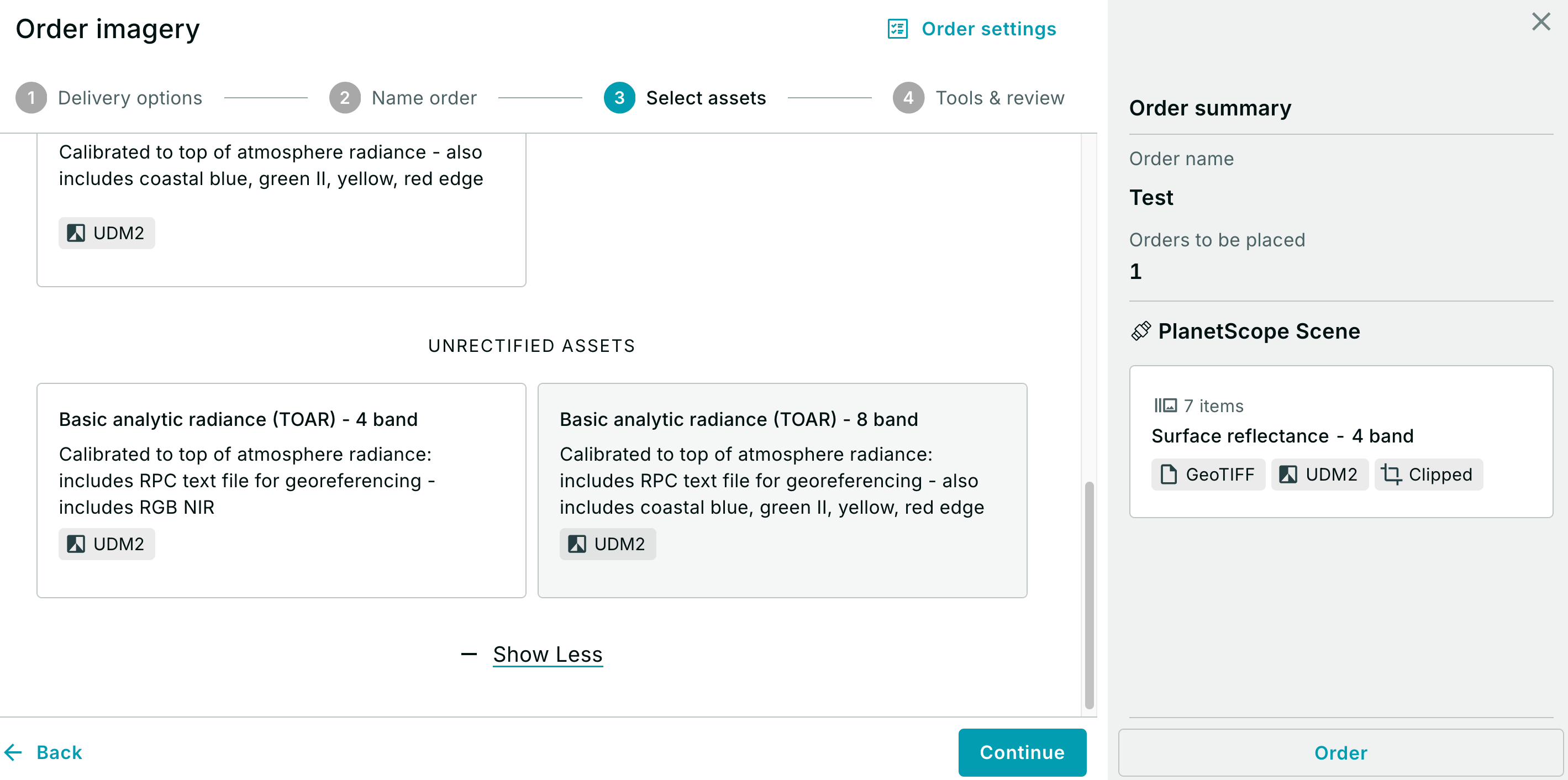
Hi @mirons, is it possible to get the exact Intermap World30 used for orthorectification for the Turkey region in 2023? We are trying to check the impact of post- and pre-earthquake DEMs for orthorectification. It’s important to use the exact DEM to un-orthorectify images first. Or is there a way to get the unorthorectified raw Planetscope images?

Thanks,

Chunli


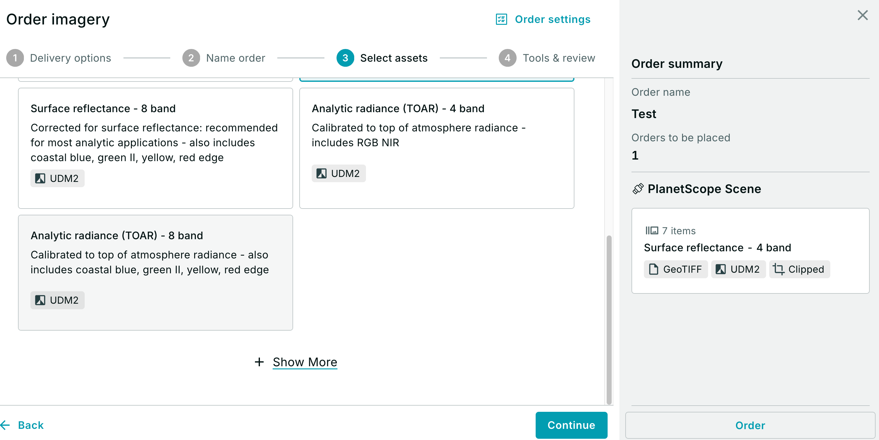
Hi @Chunli , I am still following up on the WorldMap 30 DEM, but in response to unrectified images, you can look for “Basic Scenes”. They can be found in the “Show More” dropdown on the “Select Assets” Tab of the order flow in Planet Explorer.


Reply