Hi,
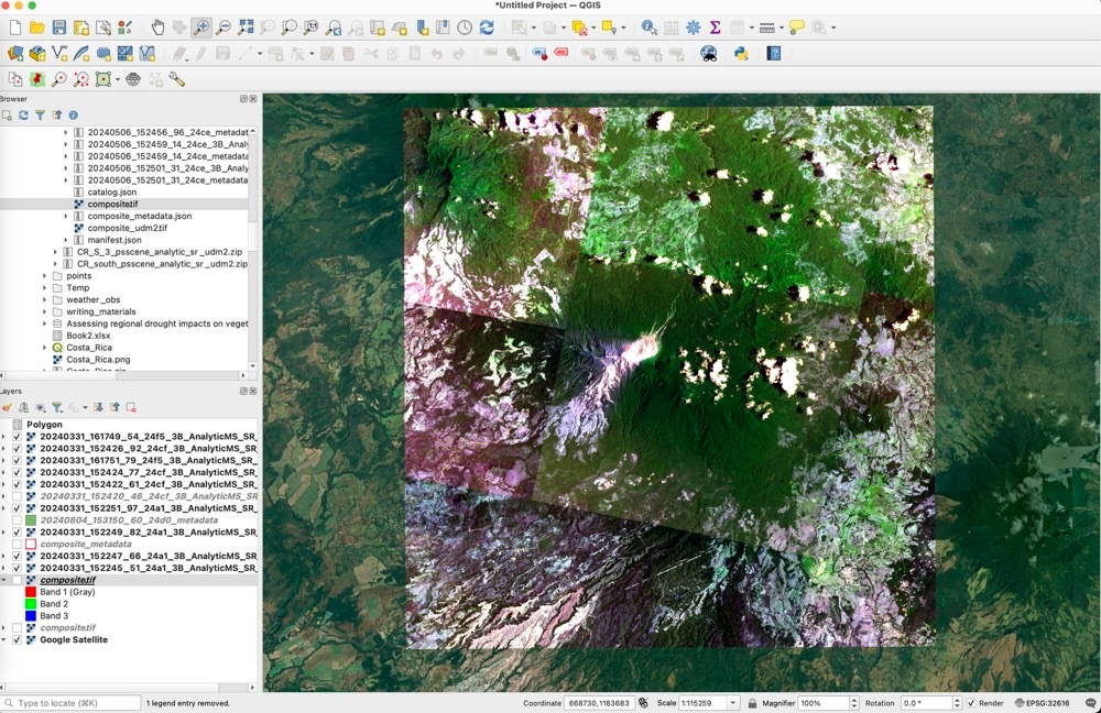
I downloaded a few high-resolution images, but I found it is not clear enough when I opened it using QGIS. Is there any special operation required before you can see a clear image (three meter resolution)?
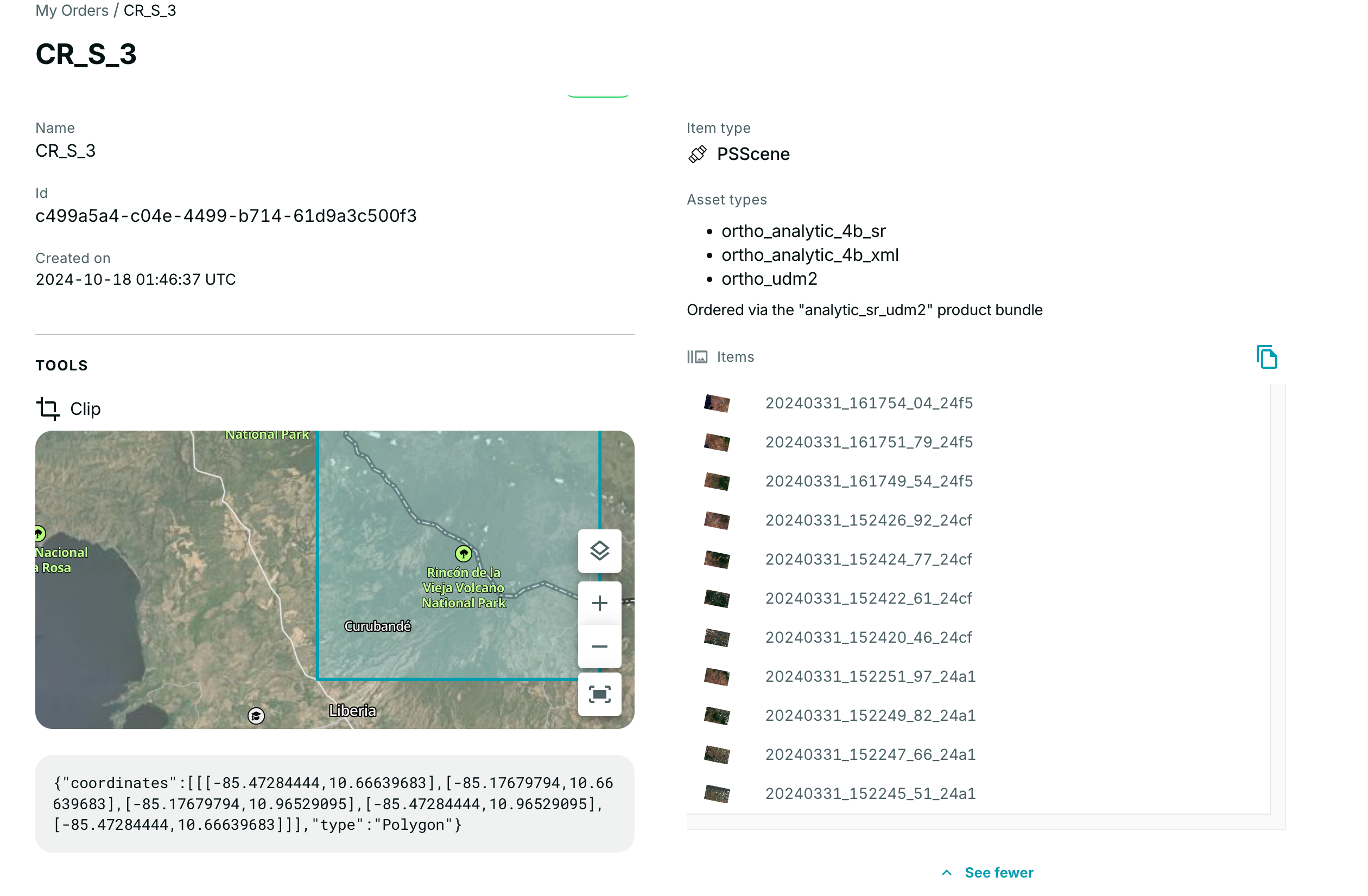


Hi,
I downloaded a few high-resolution images, but I found it is not clear enough when I opened it using QGIS. Is there any special operation required before you can see a clear image (three meter resolution)?
Best answer by elyhienrich
Hi
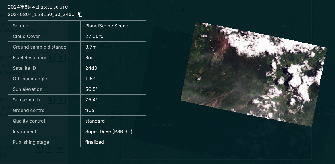
3m PlanetScope provides a high-cadence line scanner of the Planet, capturing the Earth's landmass near-daily. If you’re looking looking to gain higher resolution data of specific locations, SkySat can then be deployed.
Here is the Planet University course that covers SkySat if you want to learn more:
Intro to SkySat and the Tasking Dashboard
Enter your E-mail address. We'll send you an e-mail with instructions to reset your password.
©
Planet Labs PBC. All rights reserved.
|
Privacy Policy
|
California Privacy Notice
|
California Do Not Sell
Your Privacy Choices
|
Cookie Notice
|
Terms of Use


