Solved

Mosaic operation - 3 images to mosaic

  • 26 January 2023
  • 5 replies
  • 242 views

Userlevel 2
Badge +3

Hi Planet’ers !


I have a quick question concerning mosaics in ArcGIS Pro that I’m trying to build with planet data.


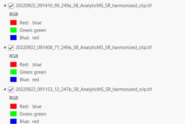
So, I have 3 beautiful separated planet images 

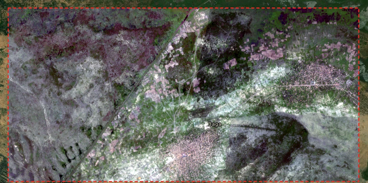
Here is how they look all together

Now I want to mosaic them


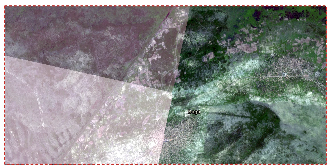
But the mosaic gives me something like this, not a harmonized image… and the colors are very distorted...

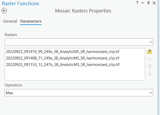
I followed the Planet ArcGIS guide https://university.planet.com/planet-integrations-arcgis-pro-workflow/1244865 and used Max it didnt work, then I used Blend, then Last, same with every single Operation , nothing worked….

Hope someone can help me ! (or even the support team :) thanks !)

Kind regards from Belgium !

icon

Best answer by Maaz Sheikh 26 January 2023, 23:44

View original

5 replies

Userlevel 2
Badge +4

Hi Maaz!

There are a couple of ways in ArcGIS Pro to mosaic imagery together.  The approach you used is one way, but we have also documented another path using a mosaic dataset here: ArcGIS Pro Tips & Tricks.


Can you give that workflow a try and let me know if it works for you?


If your desired end product is a single .tiff file (as your workflow does), then you also have the option the export a .tiff file from the mosaic dataset option I have suggested.


Thanks,

Matt

Userlevel 2
Badge +3

Hey Matt !

Thanks for your kind answer,


I did check the tips and tricks, but I found the mole !


So the solution is : I downloaded the image as ‘Harmonized’, what this does is that it links the output with sentinel-2 atmospheric corrections, which distorts everything.


So ideally, downloading the output without ‘Harmonization’ checked, is the quick fix.


Mosaicking is not the problem, it works now.


Thanks for the swift answer !


Userlevel 3
Badge +5

Hello Maaz, 

I am going to charm in here to hopefully help with your question. 

The harmonization methodology being applied on scenes has very little to do with displaying images in RGB. Even if you didn’t apply the harmonization option you’d still run into this issue and a lot of times applying a basis stretch is not enough. 

I suspect you are trying to color correct all the scenes so you have one beautiful image. Is that correct? If so, here are some additional resources you can read to make it work:

A Hands-On Guide to Color Correction

Making Sense of Satellite Data, an Open Source Workflow: Color Correction with GIMP (5 part series on how we make the RGB visuals you see in Explorer).

Please read through those and see if they help!

Mariana

Userlevel 1
Badge +2

Dear Maaz,


As you can see from your own picture, you can see that the Red band of ArcGIS depicts the BLUE band of your satellite image. The opposite goes for the Blue Band, which is in Red. Green Band is the only one in place. Just click in the band and change accordingly


Best regards, Manuel

Userlevel 2
Badge +3

Hi Manuel ! 

Thanks for your kind answer

Just saw that issue on my screenshot :) 


Thanks a lot, will try that later.


Kind regards


Maaz

Reply