Hello,
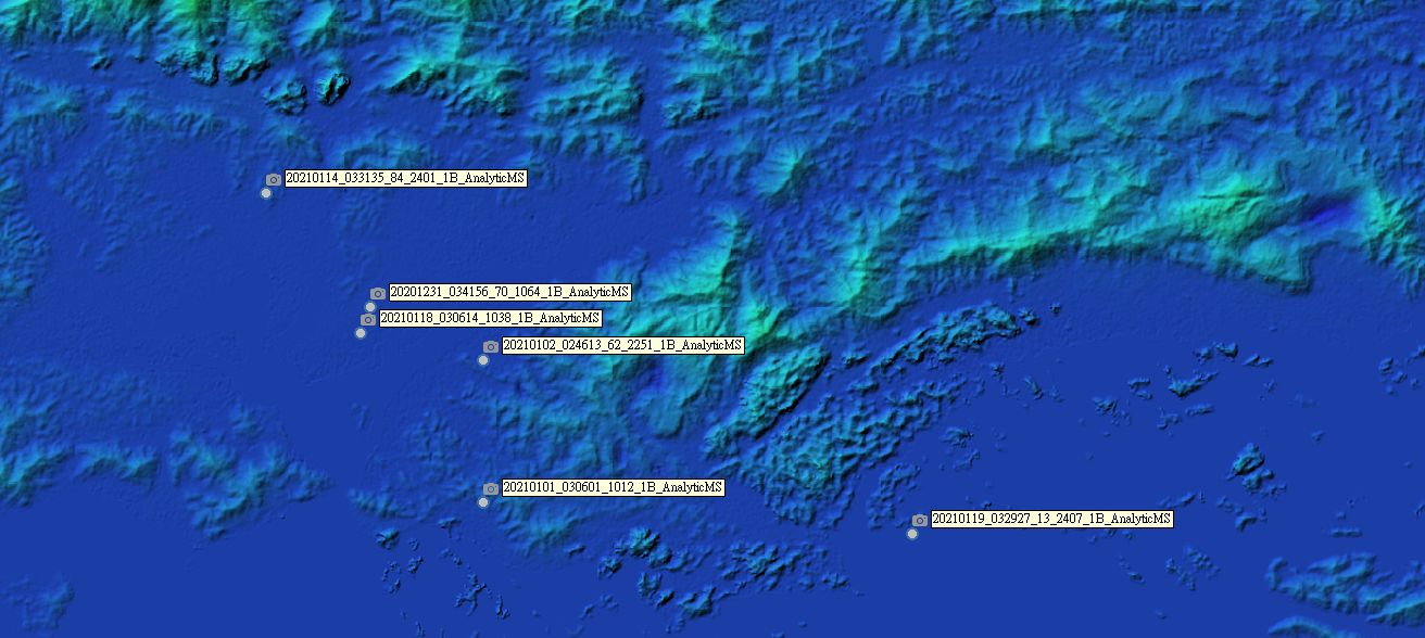
I am study the topography change of mining site in Vietnam and wonder is there anyone experienced the DSM/DEM generation from multiple PlanetScope images? And comparison between stereo and multiple-images result for DEM/DSM. Although there are several scientific papers, there is lack of guideline to retrieve the high accuracy of DEM/DSM.
Thank you.