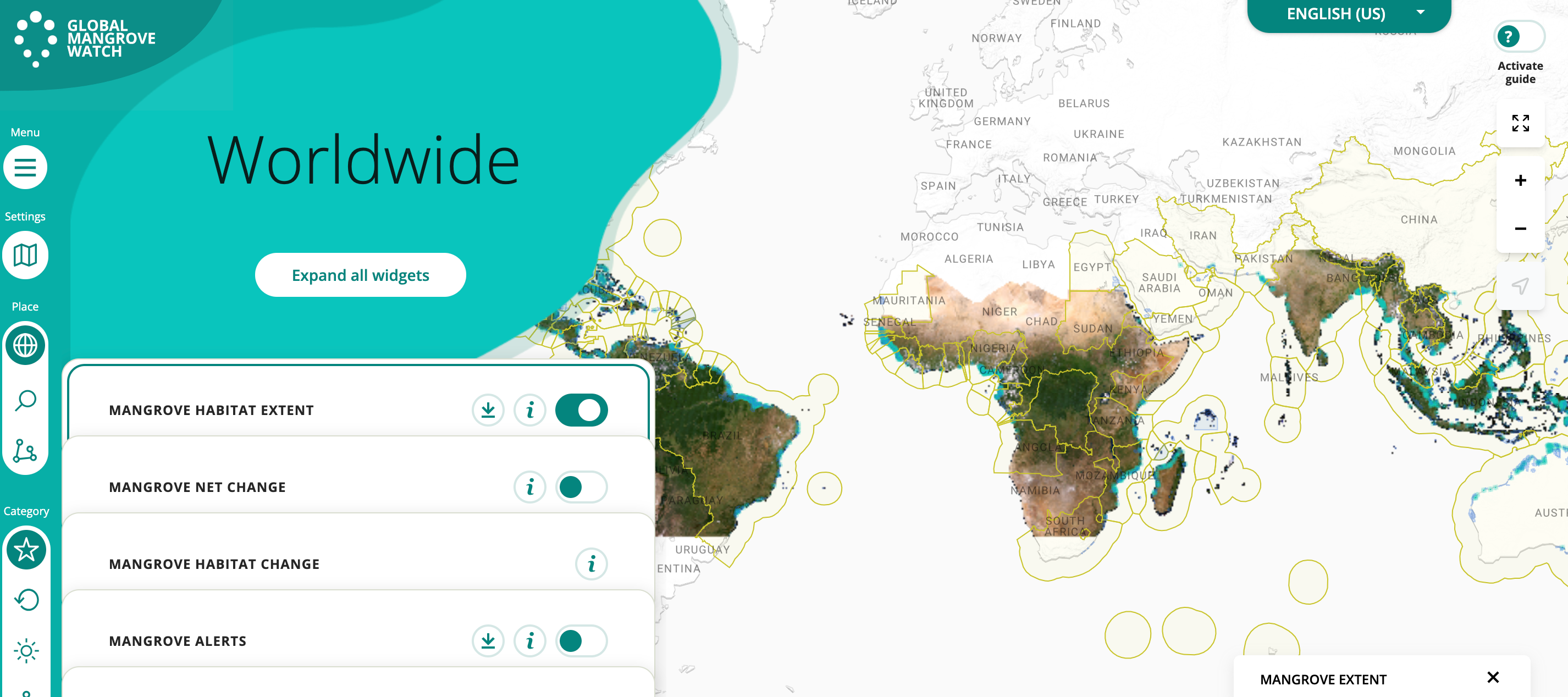
Today we would like to introduce Global Mangrove Watch, an advanced online platform offering comprehensive data and cutting-edge tools for monitoring mangroves worldwide, all derived from satellite imagery. This platform provides a wealth of datasets, including essential information on mangrove habitat extent, net change, and habitat evolution. Additionally, it offers valuable spatial insights into species distribution by country.
One of the most remarkable features of Global Mangrove Watch is its provision of accurate information regarding mangrove deforestation alerts. This is achieved by pinpointing areas with a high probability of change in mangrove forest cover, visualized through an informative heat map.
To ensure precision and reliability, Global Mangrove Watch leverages data from Landsat 8, Sentinel 1, and Sentinel 2, enabling the identification and monitoring of mangroves with unmatched precision and efficiency.
Commemorating Mangrove Day, Global Mangrove Watch released its integration of Planet-NICFI basemaps into their online app. This enhancement significantly enhances the identification of deforested and degraded areas in the tropics, further empowering users in their conservation efforts.
With Global Mangrove Watch, conservationists, researchers, and concerned individuals possess a powerful ally in their mission to protect these vital ecosystems. The platform's user-friendly interface, vast array of data, and state-of-the-art technology make it an indispensable tool for safeguarding mangroves and the diverse wildlife they support.
Join the movement and be a part of the mission to protect our mangroves for future generations! 🌱🌏 Head over to Global Mangrove Watch and explore the wonders of Planet-NICFI and other geospatial data and technology working hand-in-hand with nature. 🛰️💚 Let's preserve these invaluable ecosystems together! 🤝🌿


