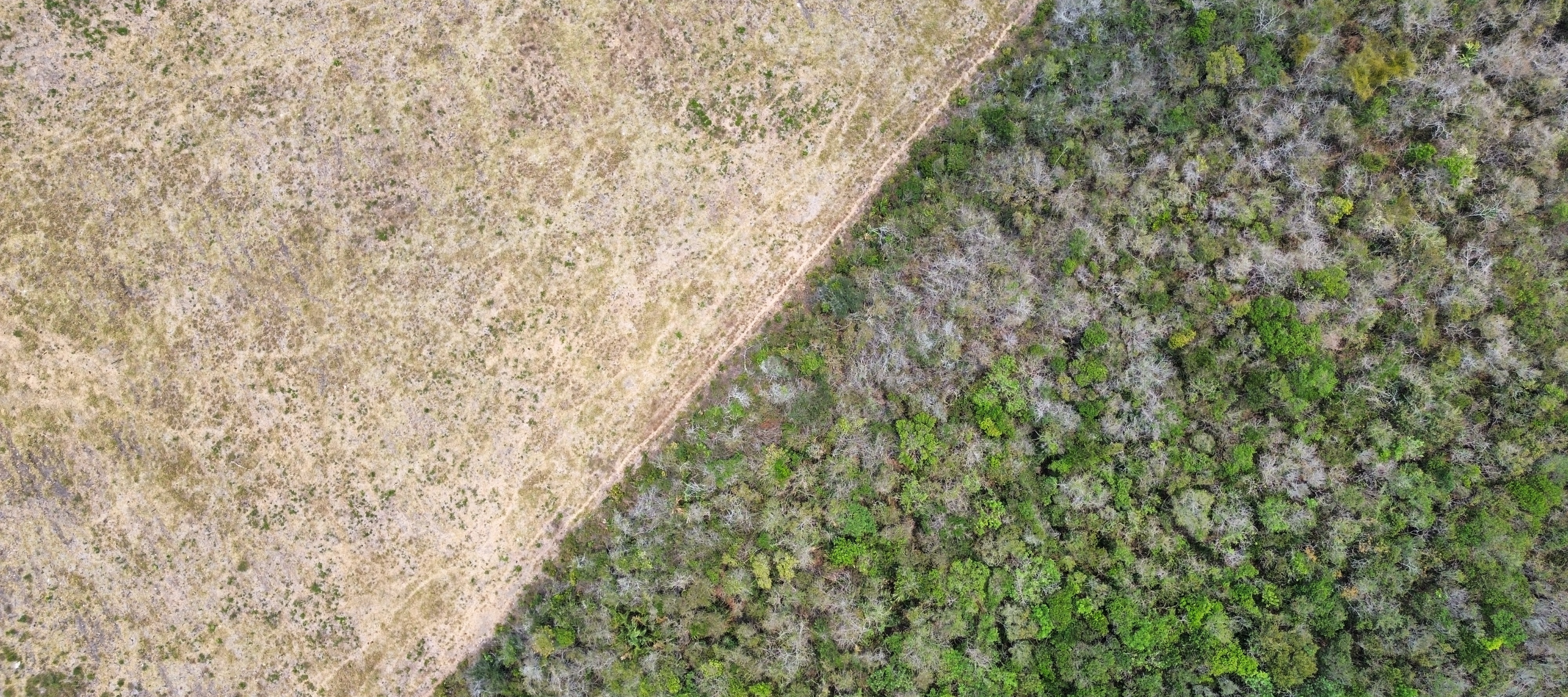
The Yucatán Peninsula houses the Maya Forest, the second-largest forested area in the Americas after the Amazon. This region plays a critical role in biodiversity conservation, carbon sequestration, and supporting forest-dependent communities. However, between 2001 and 2020, over one million hectares were deforested. Annual forest loss across Mexico's dry and humid tropical forests, predominantly in the Yucatán Península, is estimated up to 100,000 hectares a year.
Yet, despite this loss, localized recovery and conservation initiatives, such as sustainable forest management and traditional land use practices, provide hope for the region's forest cover. In response to the need for accurate and reliable data to evaluate these changes, SICAMFOR (Sistema de Información sobre Cambios en la Cobertura Forestal) was developed by the NGO Consejo Civil Mexicano para la Silvicultura Sostenible (CCMSS) to monitor forest cover changes in the Yucatán Peninsula.

SICAMFOR uses Collect Earth Online (CEO) to establish a network of monitoring plots distributed across the states of Campeche, Quintana Roo, and Yucatán. CEO is a powerful tool that allows users to visually inspect and categorize land cover using high-resolution satellite imagery. Three thousand sample points were categorized by their specific land-use and forest cover types. These observations, spanning from 2015 to 2023, served as training data for machine learning models and helped validate forest cover and deforestation data.
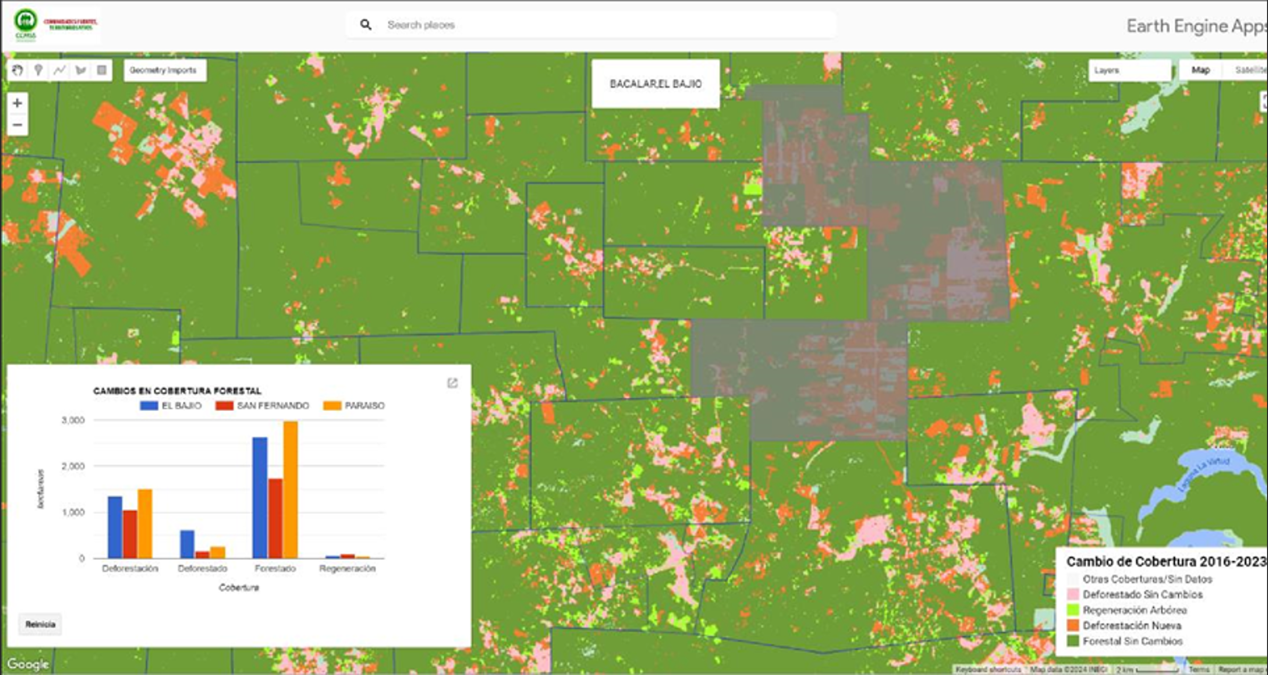
Google Earth Engine (GEE) is applied for data processing and analysis, allowing SICAMFOR to process large amounts of Planet NICFI satellite imagery quickly and efficiently. The platform enables wall-to-wall analysis of the entire Yucatán Peninsula and employs the Random Forest algorithm for its supervised classifications method. Four spectral bands from Planet base map imagery (blue, green, red, and near infrared) along with NDVI are used to classify forest cover in 2016, 2019, and 2023. SICAMFOR generates "forest-no forest" classifications by reclassifying vegetation categories and identifying deforested areas and areas of recovery between 2016 and
2023. This time-series analysis allows for the calculation of deforestation rates, identifying hot spots of forest loss and regeneration, and quantifying forest cover changes at municipal and community scales (ejidos).
A GEE app platform allows users, including local NGOs and community organizations, to monitor forest cover changes and develop sustainable management strategies for the Yucatan's forest resources. SICAMFOR's detailed tools are now accessible to the public, contributing to more accurate and actionable data for climate and forest conservation efforts. Explore the SICAMFOR GEE app platform here.


