Hi! Has anyone insights into the quality of the UDM mask (clouds especially) for snow-covered regions?
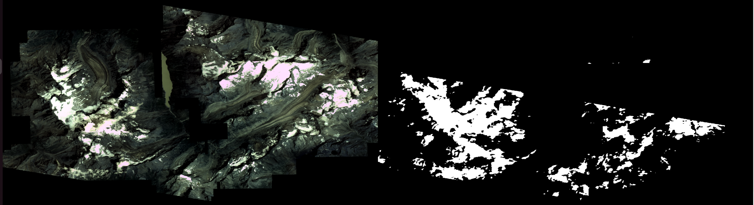
Below you can see an image (2017-08-01, 45.97N, 7.35E) with some glaciers & snow and the corresponding cloud mask from the UDM layer.
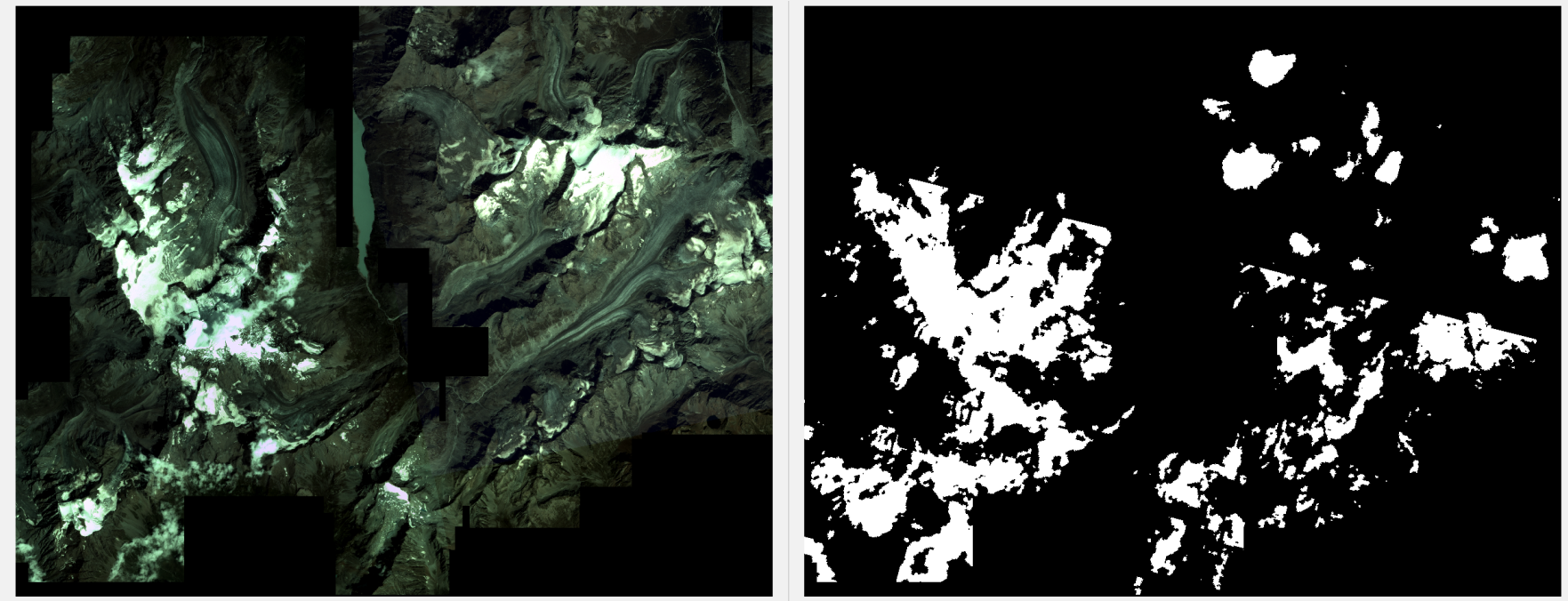
You can notice:
- a lot of snow/ice areas are miss-classified as clouds
- there is a line that separates the cloud mask into two sub-regions (the data comes from two different stripes); what's strange is that one sub-region has many more FPs than the other; looks like the algorithm behind is very sensitive to the underlying sensor
I’m wondering if it is common that snow & ice are frequently classified as clouds. I’m more familiar with the Sentinel-2 data and there the masks usually manage to capture the difference between snow and clouds.
Has anyone experience in this area?
Thanks!