Solved

Rendering PlanetScope scene in QGIS appears incorrect

  • April 22, 2025
  • 1 reply
  • 358 views

Forum|alt.badge.img+2

I downloaded 8-band analytics ready surface reflectance PlanetScope scenes for a study. I want to create a visualization of one of the scenes with QGIS. However, when I load the scene in QGIS as a raster, it doesn’t look like the agricultural field I’m expecting. I made sure to assign the bands as red = 6, blue = 2, and green = 4.

This is how the scene looks in Planet Explorer
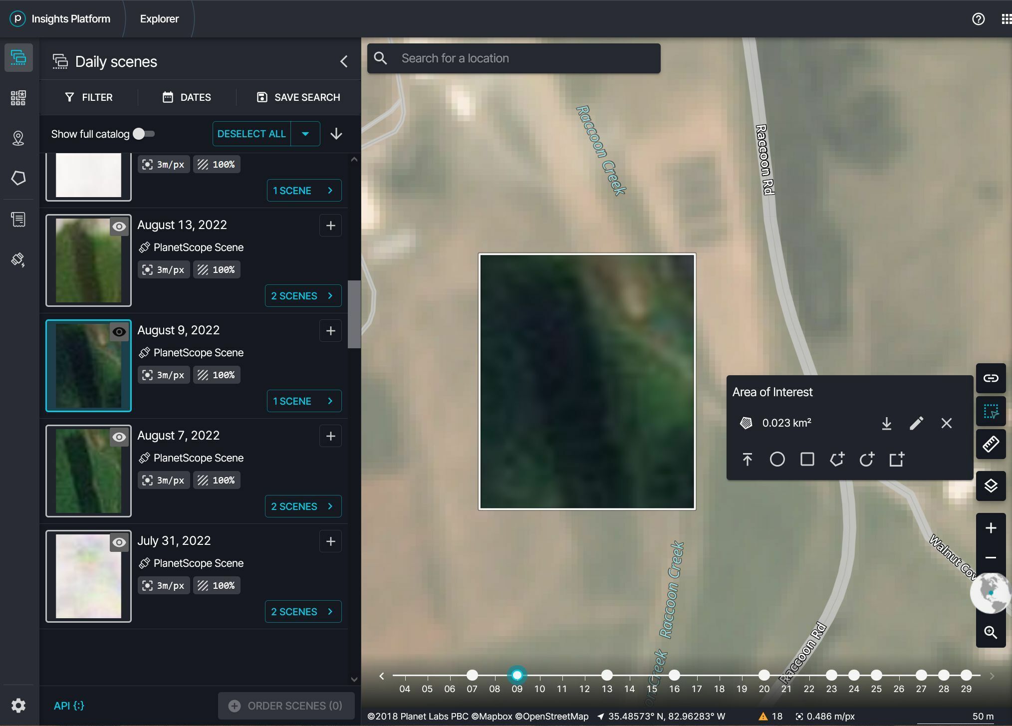
screenshot of planet explorer showing a selected image in an AOI

This is how the PlanetScope scene looks rendered in QGIS
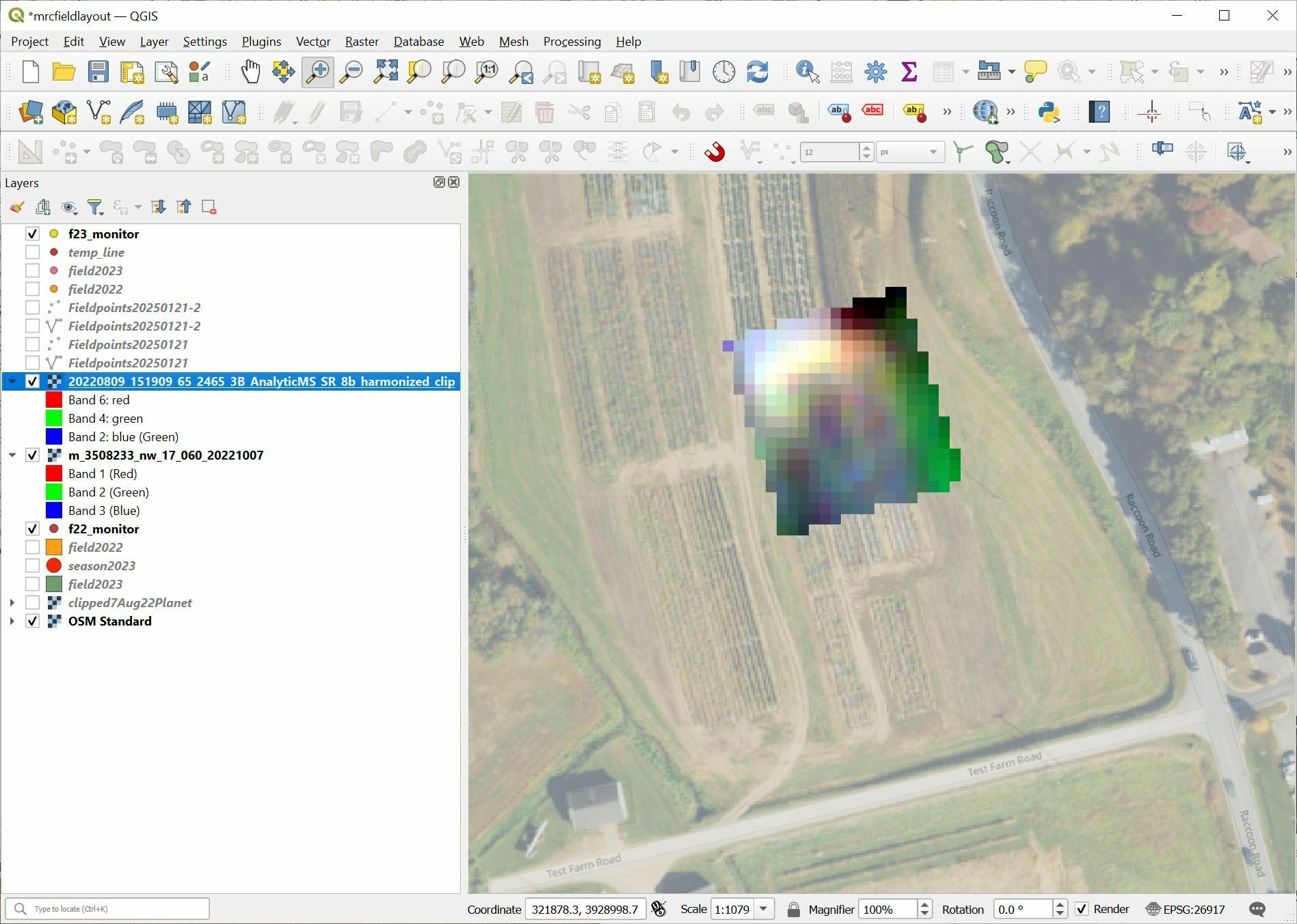
QGIS with the PlanetScope scene in the drawing area


The scene looks like an odd mosaic of colors. I realize that the resolution of the underlying NAIP image might influence how the scene might be perceived, but honestly, the scene looks like an odd mosaic of colors. How can I get the scene to render in QGIS the way it looks in Explorer?

Best answer by elyhienrich

Hi ​@japolo 

Add the SR image, and set the bands to red, green, and blue as you’ve already done.

Then set the min and max for all bands to 0 and 2500.

That should get you to a reasonable RGB visualization.

1 reply

elyhienrich
Community Manager 🌎
Forum|alt.badge.img+17
  • Community Manager 🌎
  • Answer
  • April 23, 2025

Hi ​@japolo 

Add the SR image, and set the bands to red, green, and blue as you’ve already done.

Then set the min and max for all bands to 0 and 2500.

That should get you to a reasonable RGB visualization.