Hi everyone,
I'm already a Planet Exploration subscriber, and I'm hoping someone here can point me in the right direction.
My family and I are trying to resolve a land boundary dispute, and we only need one historical PlanetScope image of a very small location.
After subscribing, I realized that the imagery we need appears to require one of the much more expensive plans (around $450+), which we honestly didn't expect. We thought the Exploration subscription would be enough, but unfortunately we misunderstood the differences between the plans.
We're not looking for continuous monitoring or large datasets—just one image from a specific period that could help settle this issue.
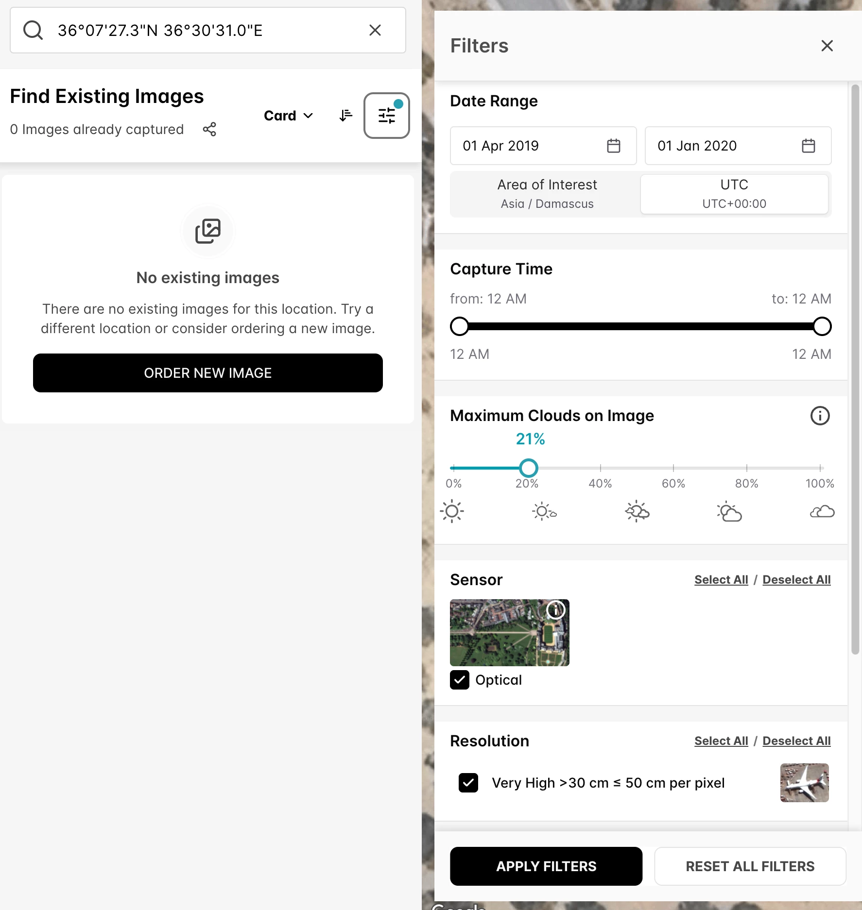
The location is:
36°07'27.3"N 36°30'31.0"E
The ideal image would be taken between May 30, 2019 and May 30, 2020. During that period, the trees had already been cleared, but the concrete boundary marker was still in place before it was later removed.
If anyone has access to this imagery, or knows of a more affordable way to obtain just this single image, I would be incredibly grateful for your advice or assistance.
Thank you so much for your time and for any help you can offer.