I’m interested in integrating Planet Labs satellite maps into a consumer mobile app using Mapbox. Could someone explain how I can achieve this and which specific Planet Labs product would be best suited for this use case? Additionally, I’d like to know if the pricing is based on per-map-load costs tied to a specific resolution. Any insights would be greatly appreciated!

Solved
Integrating Planet Labs Satellite Maps with Mapbox for a Consumer Mobile App: Product and Pricing Questions
 +1
+1Best answer by matt.ballard
Hey,
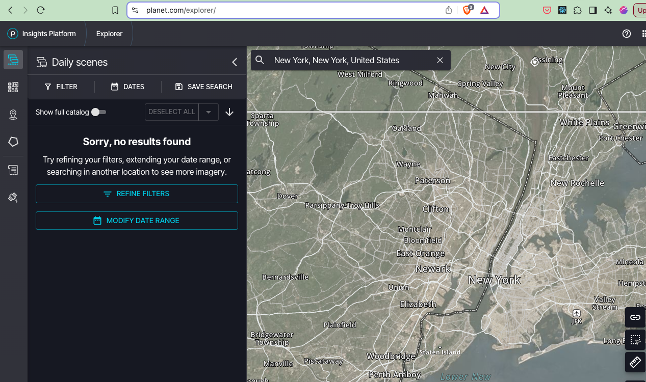
We don’t currently offer a fully self-service option for paying for map tiles on PlanetScope or SkySat imagery. We also don’t offer a free tier or trial that allows you to preview recent imagery.
We are making updates to our self-service pricing and plan to offer options that may work for you, however these won’t be ready for a couple months. In the meantime, if you would like to, you can contact sales.
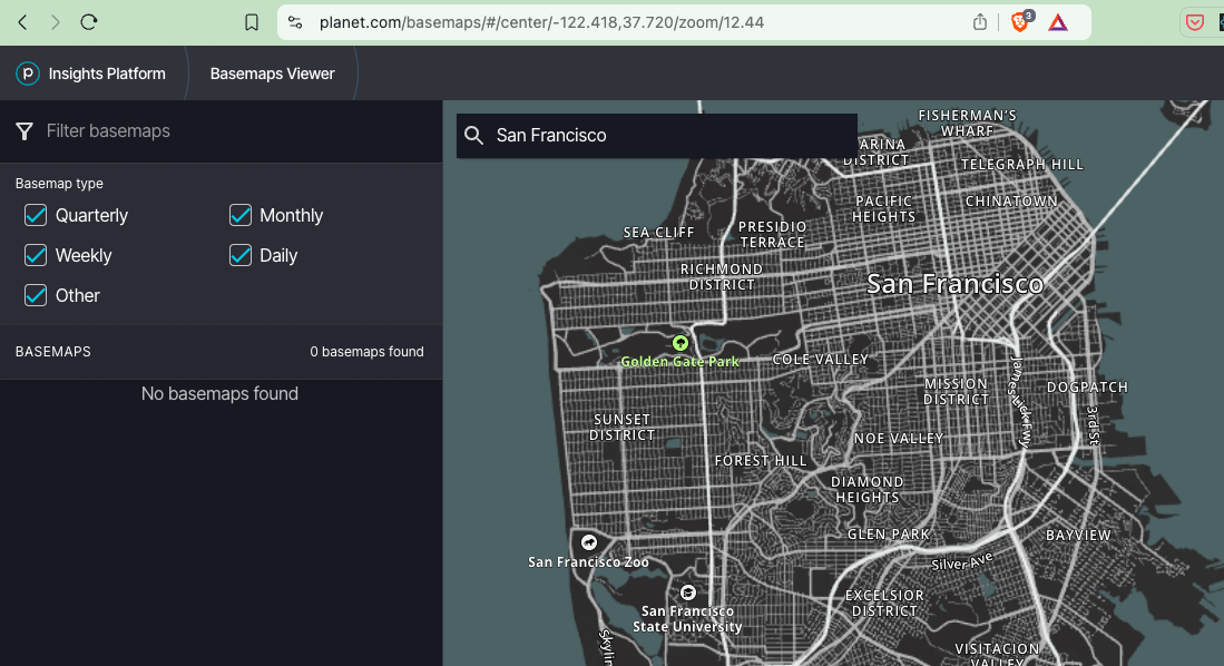
If I subscribe to the basic planet insights platform for $1100 / year,
This option currently only includes public imagery from Landsat and Sentinel constellations.


Login to the Planet community
No account yet? Create an account
Login with Planet Account
Login With Planet AccountEnter your E-mail address. We'll send you an e-mail with instructions to reset your password.
© 2026 Planet Labs PBC. All rights reserved.
| Privacy Policy | California Privacy Notice |California Do Not Sell
Your Privacy Choices | Cookie Notice | Terms of Use | Sitemap
