Hello everyone,
I am studying dust storm effects in the oceans. I want to use satellite imagery to improve the results of my project. However, I am having issues with dust visualization in ArcGIS.
I did a table with the following features:
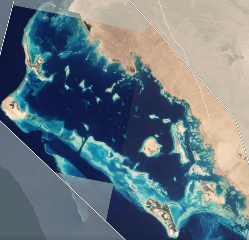
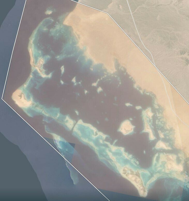
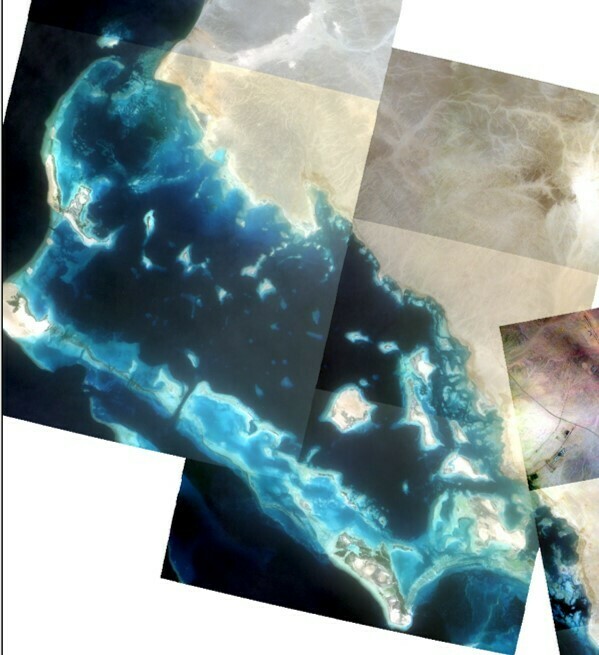
In the first column, you can see Planet explorer. On the left, you can see a clear day, while on the right, you can see a dusty day.
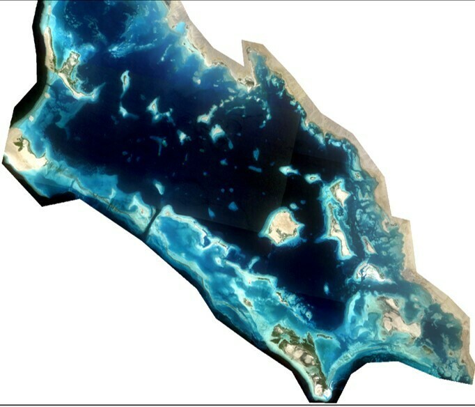
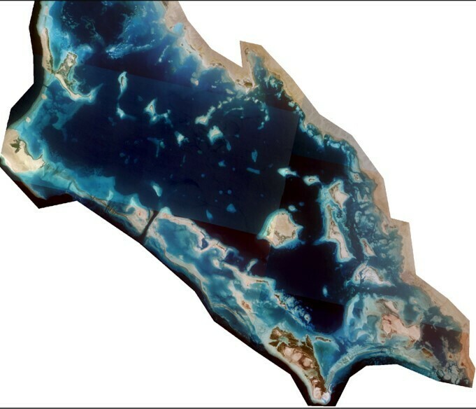
On the second column, they are the same images after being downloaded and then uploaded in ArcGIS Pro. On the left, the uploaded image is similar to the one shown in Planet Explorer. However, on the right, the image is not dusty, it does not look like the top-right image.
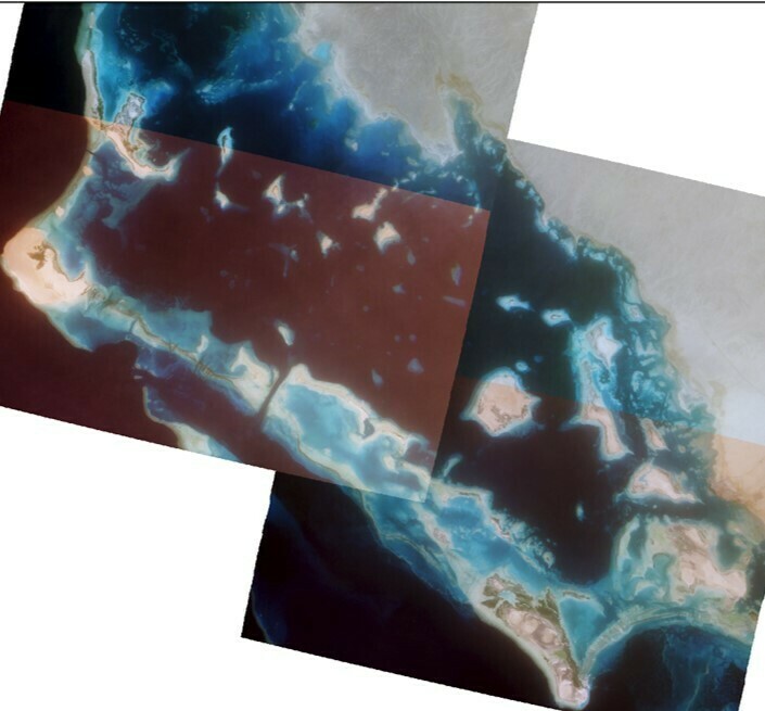
On the third column, I decided to use a Stretch (ESRI) on the image in ArcGIS Pro. Again, on the left, you see similar colors to the one visualized in Planet Explorer. On the image to the right, only the South West area looks different (perhaps dusty?) than the rest of the image. However, overall, the image still does not resemble the image visualized in Planet Explorer.
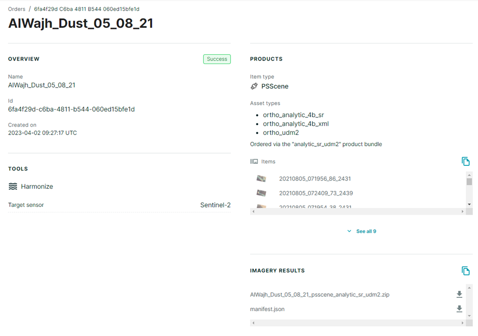
I want to be able to visualize dusty images on ArcGIS Pro, but even if Planet Explorer shows the dusty images, after downloaded they do not show the same dustiness. Does anyone know what is the issue? Perhaps is the way I am downloading images in Planet? A filter that removes aerosols? Or is it a way the image is uploaded in ArcGIS Pro?
Best regards,
| 
|
| 
|
| 
|


